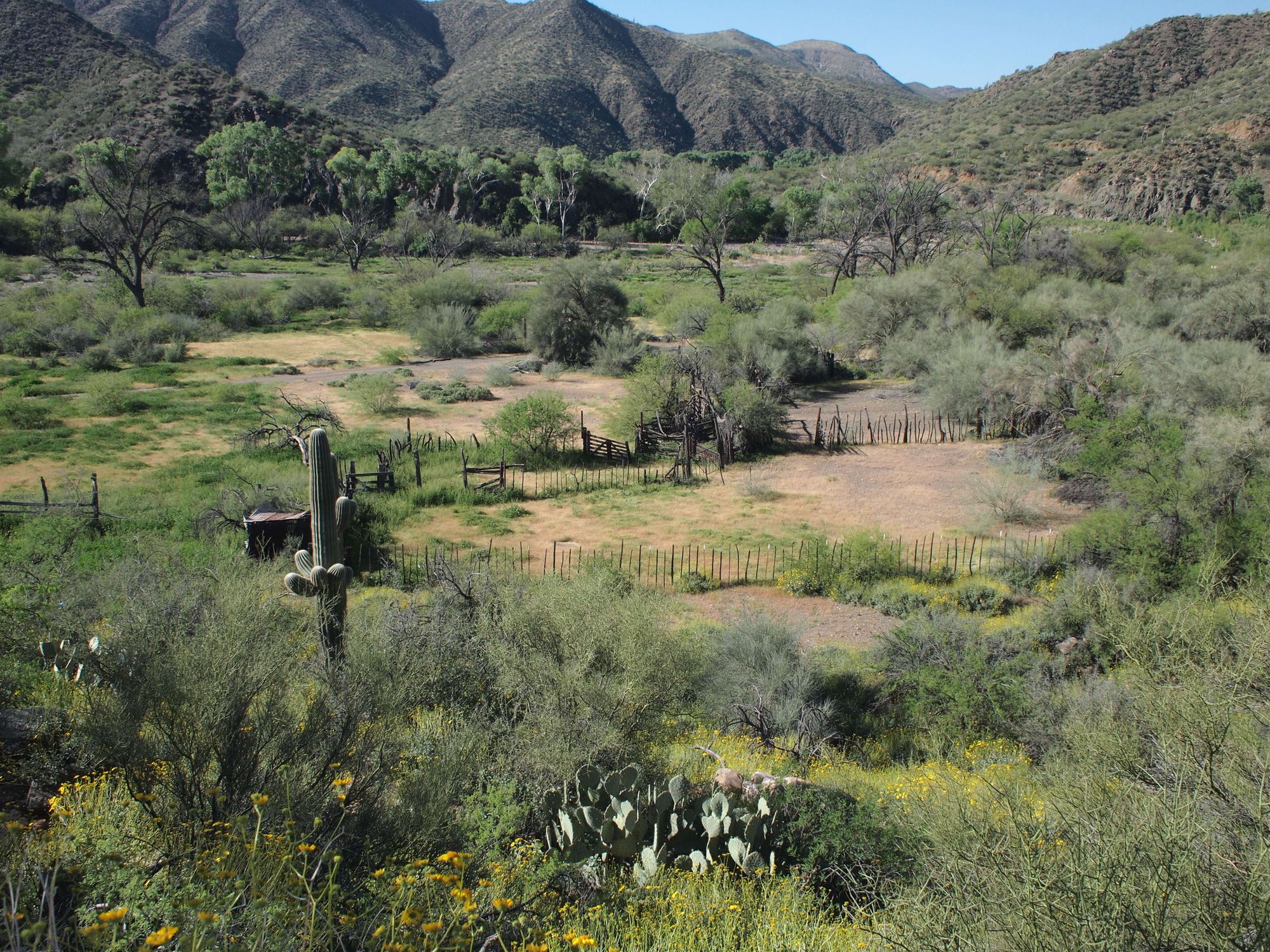
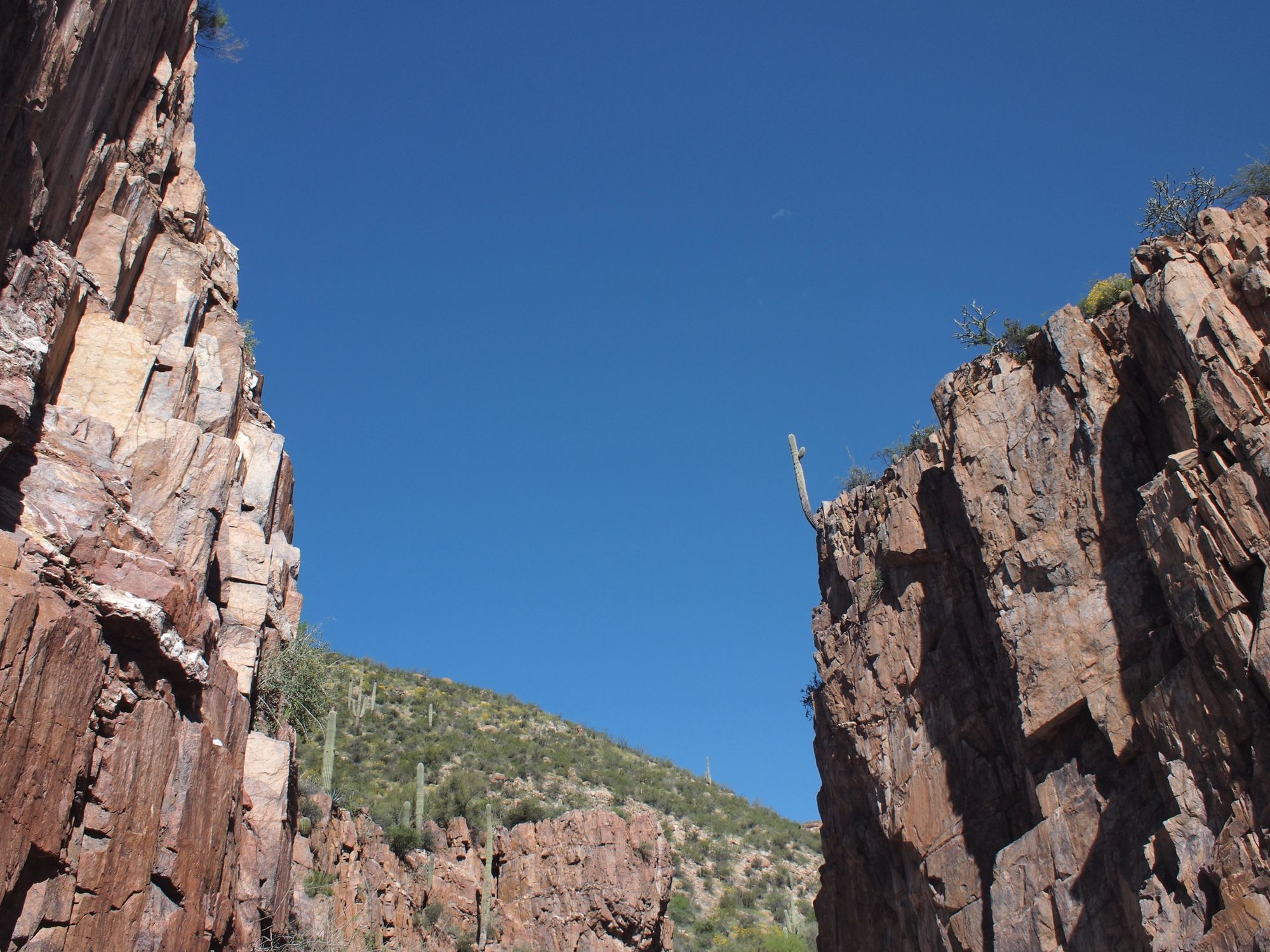
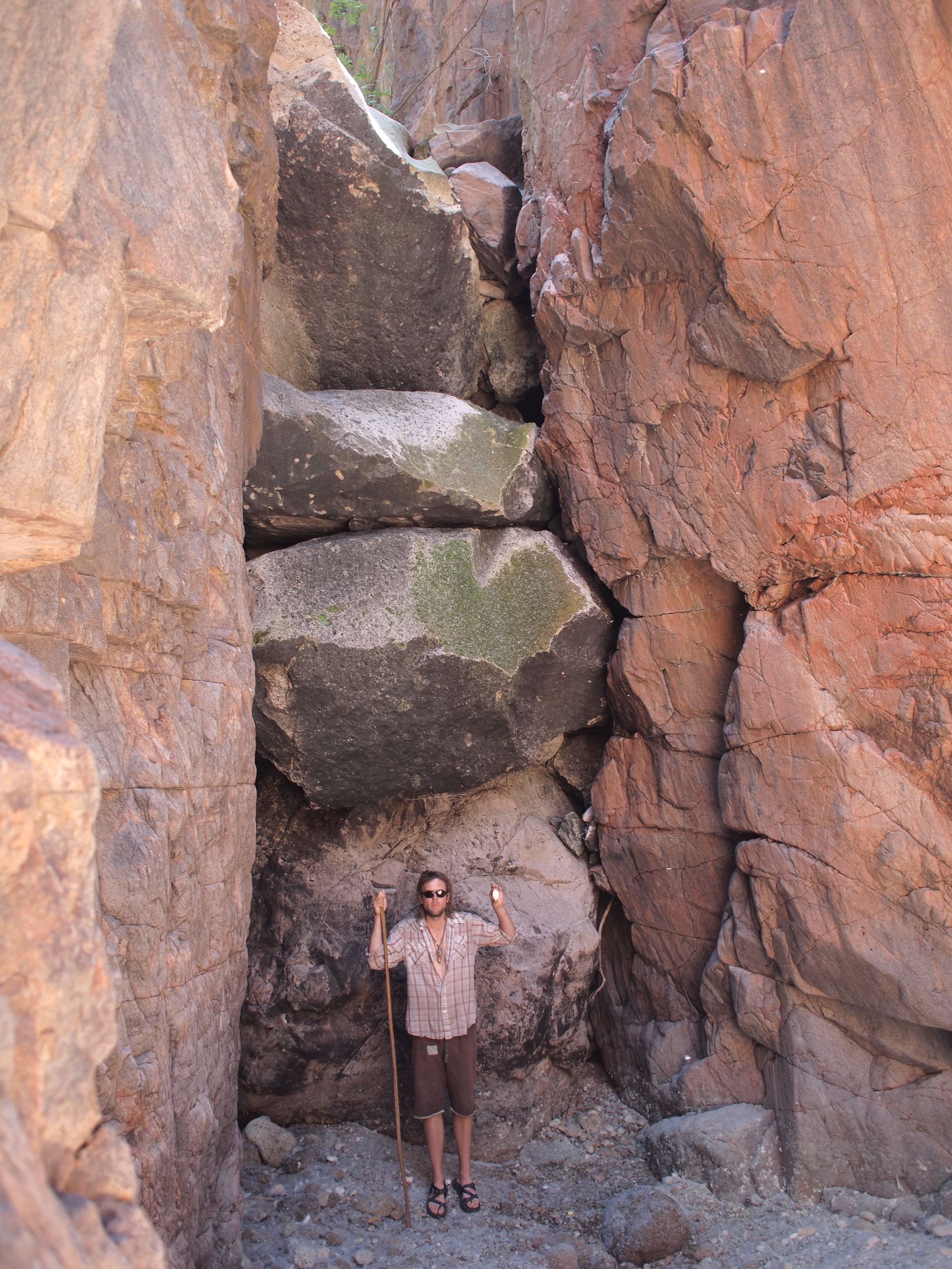
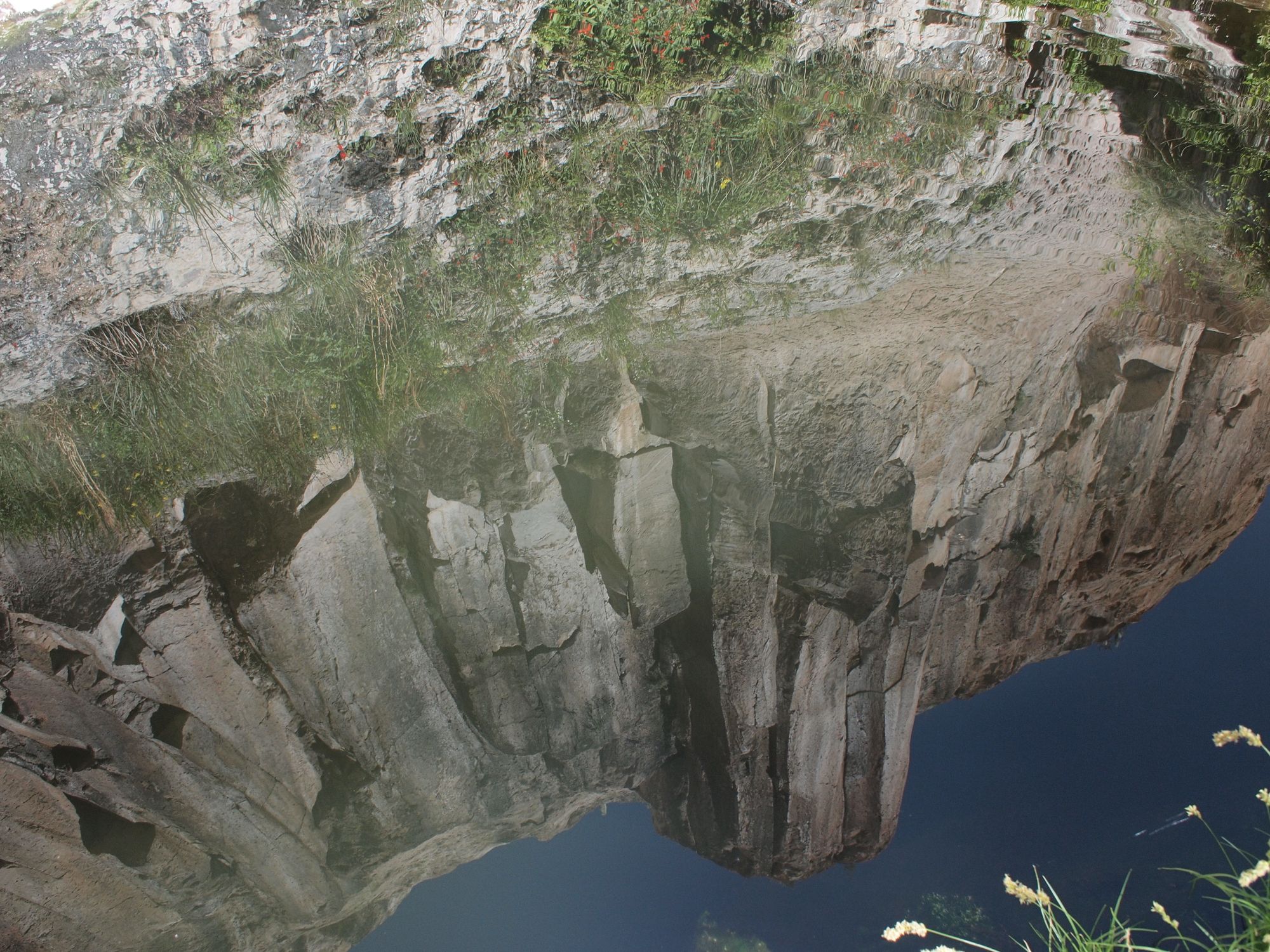
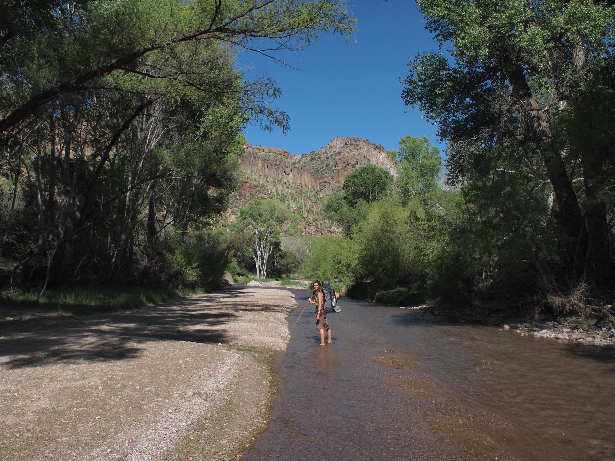
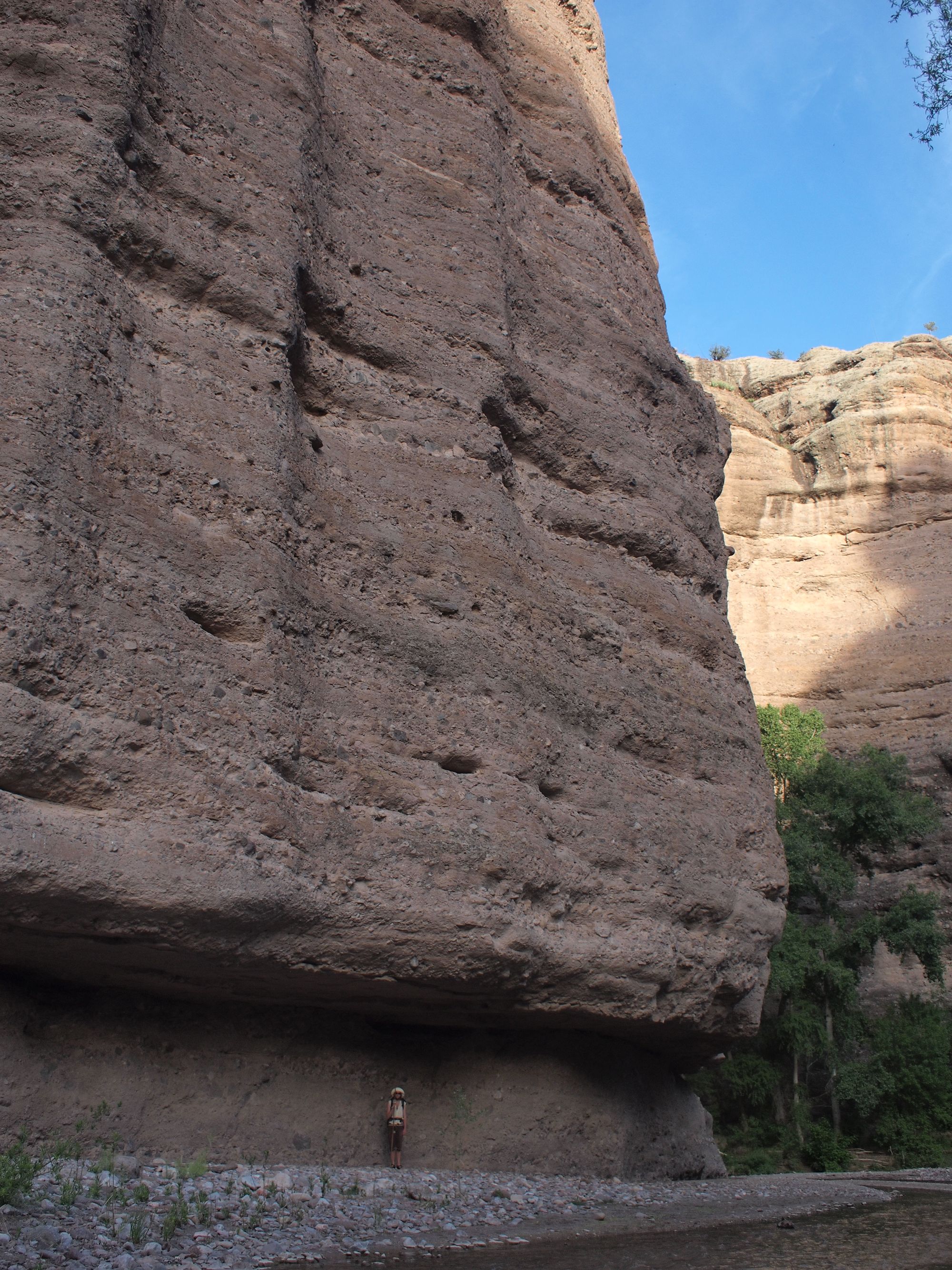
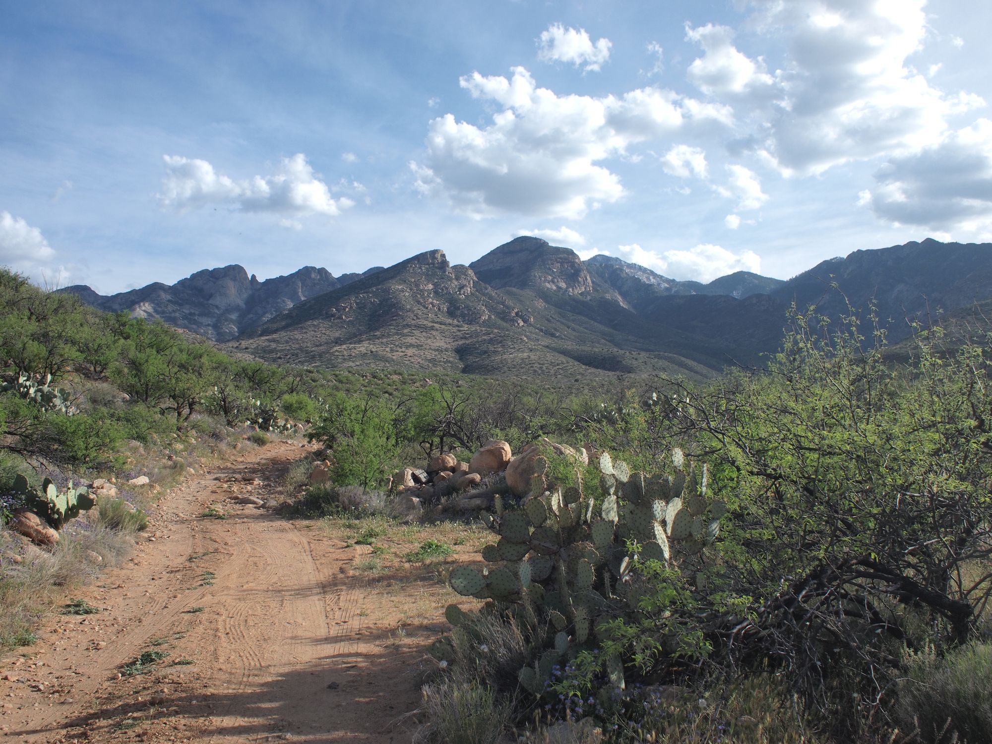
Here we descend into the flowing heart of the Sonoran desert. Aravaipa Canyon was formed much like the Grand Canyon, as the earth rose up a perenial water source carved its way through the layers of stone. Its crystal clear water pushes up, spilling out of the desert,runs through the canyon, and once it passes through the steep walls descends back below the desert sand. Uplift and erosion.
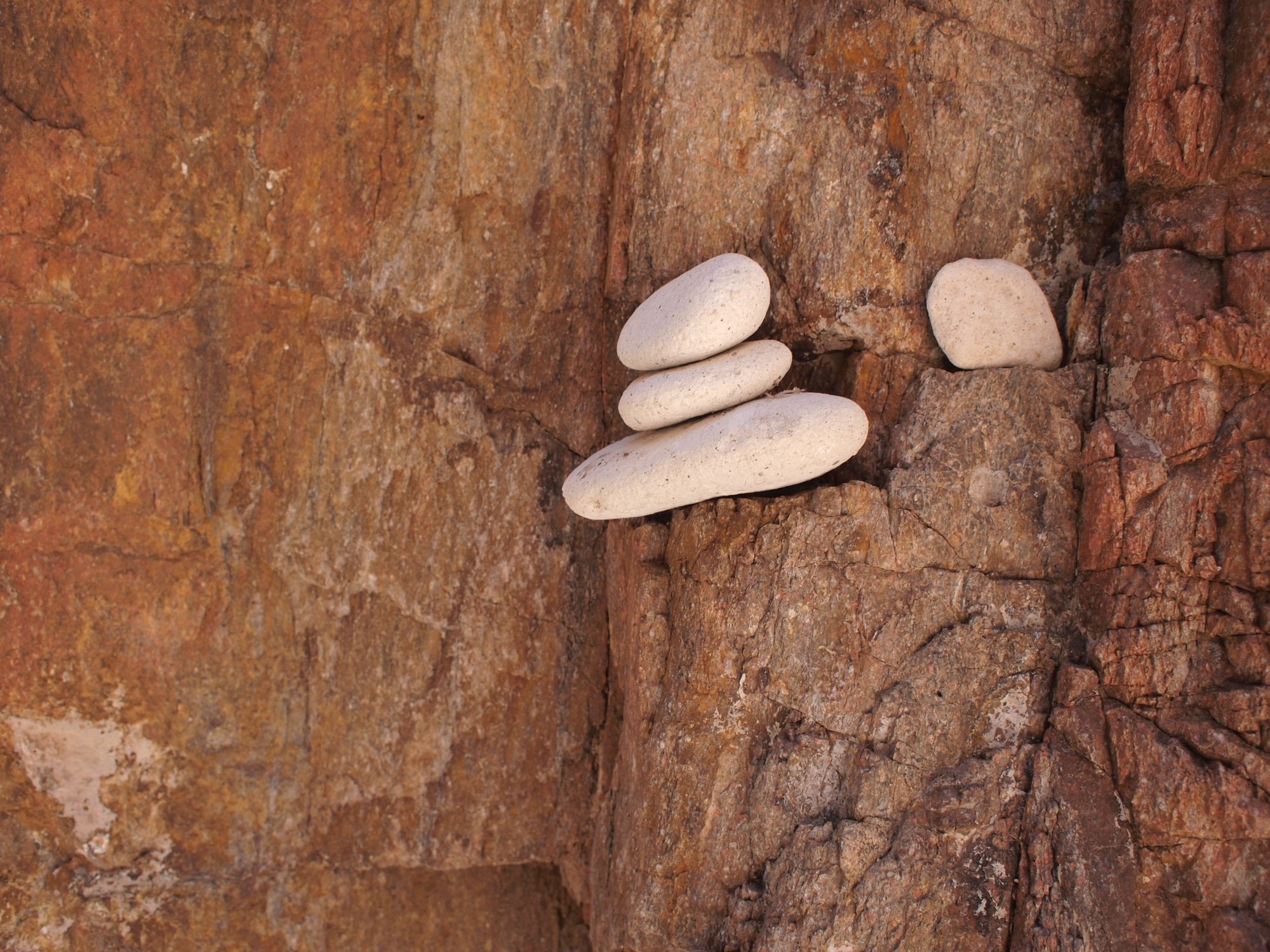
Here I am going to interject a small psa about cairns. The beautiful little stack of white stones above is not a cairn, it is three small pebbles stached onto a canyon wall (not stacked my me). Cairns are trailmarkers, extremely important navigational tools in the wilderness, along riverbeds, in canyons and in the desert when other trail-marking systems are not possible. (such as tree blazes) If you are out hiking do NOT build cairns! They can send people off trail, add to errosion and ecosystem damage by having more people go off-trail and even create dangerous situations for people trying to navigate rivers or canyons.
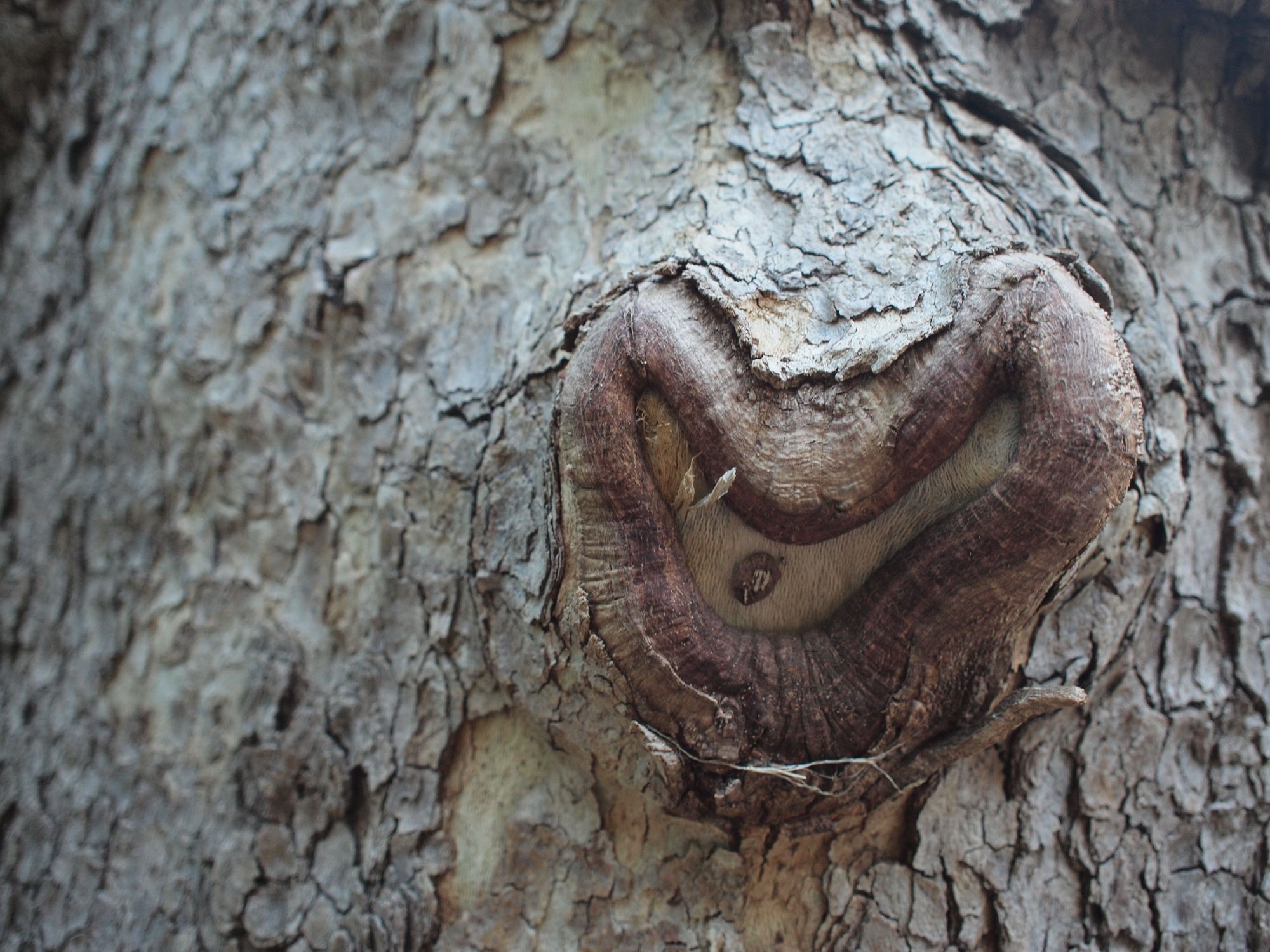
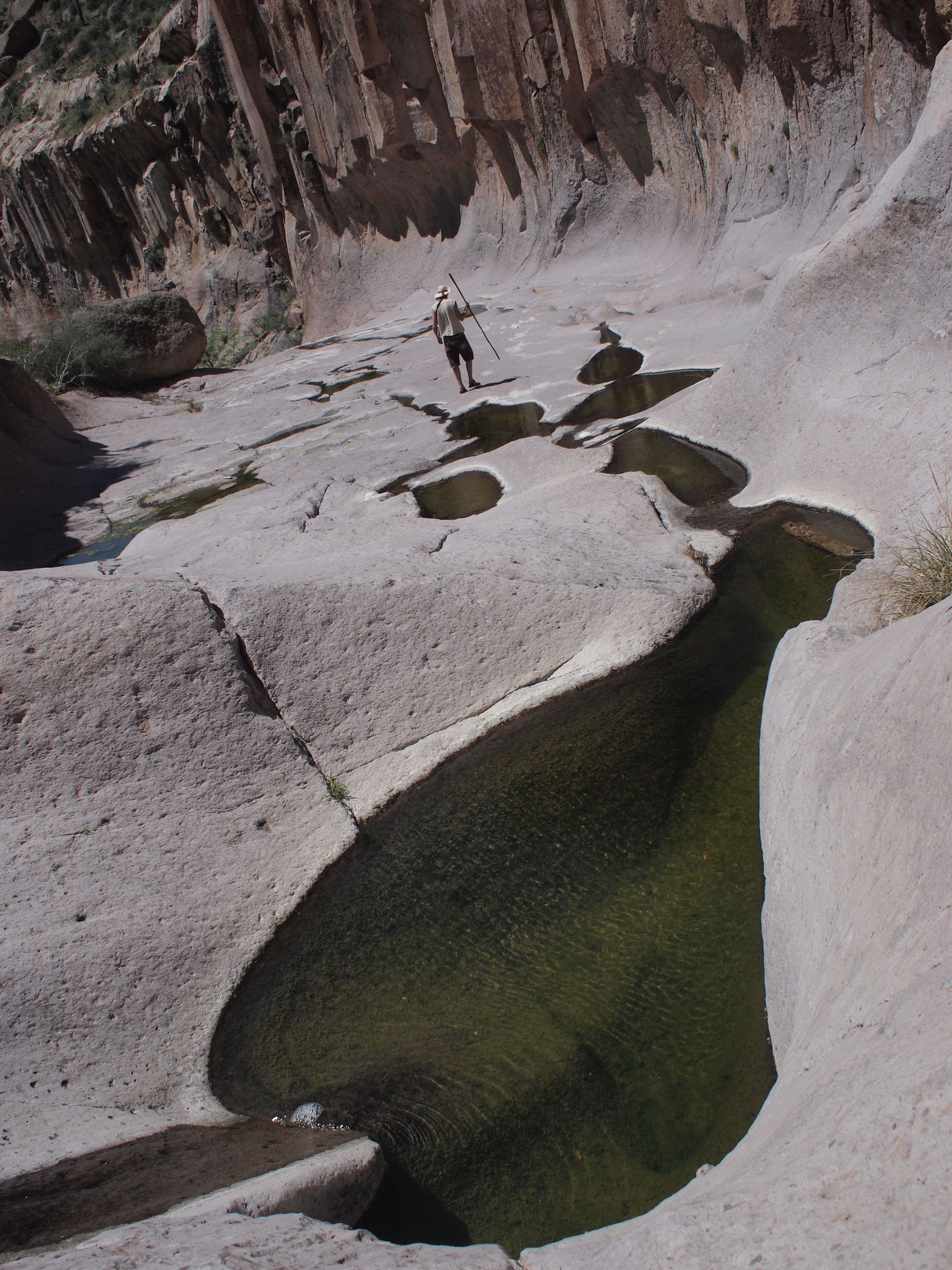
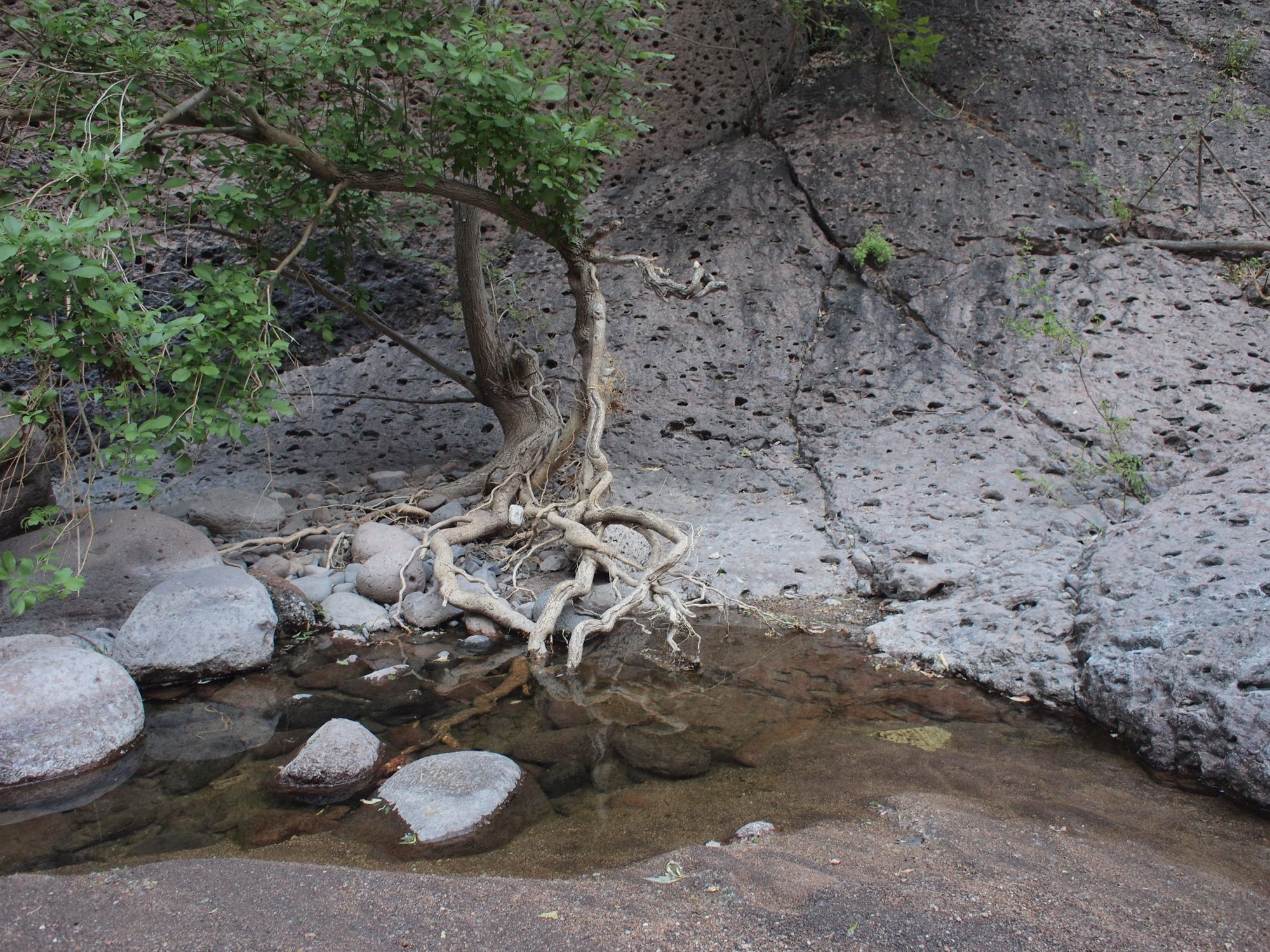
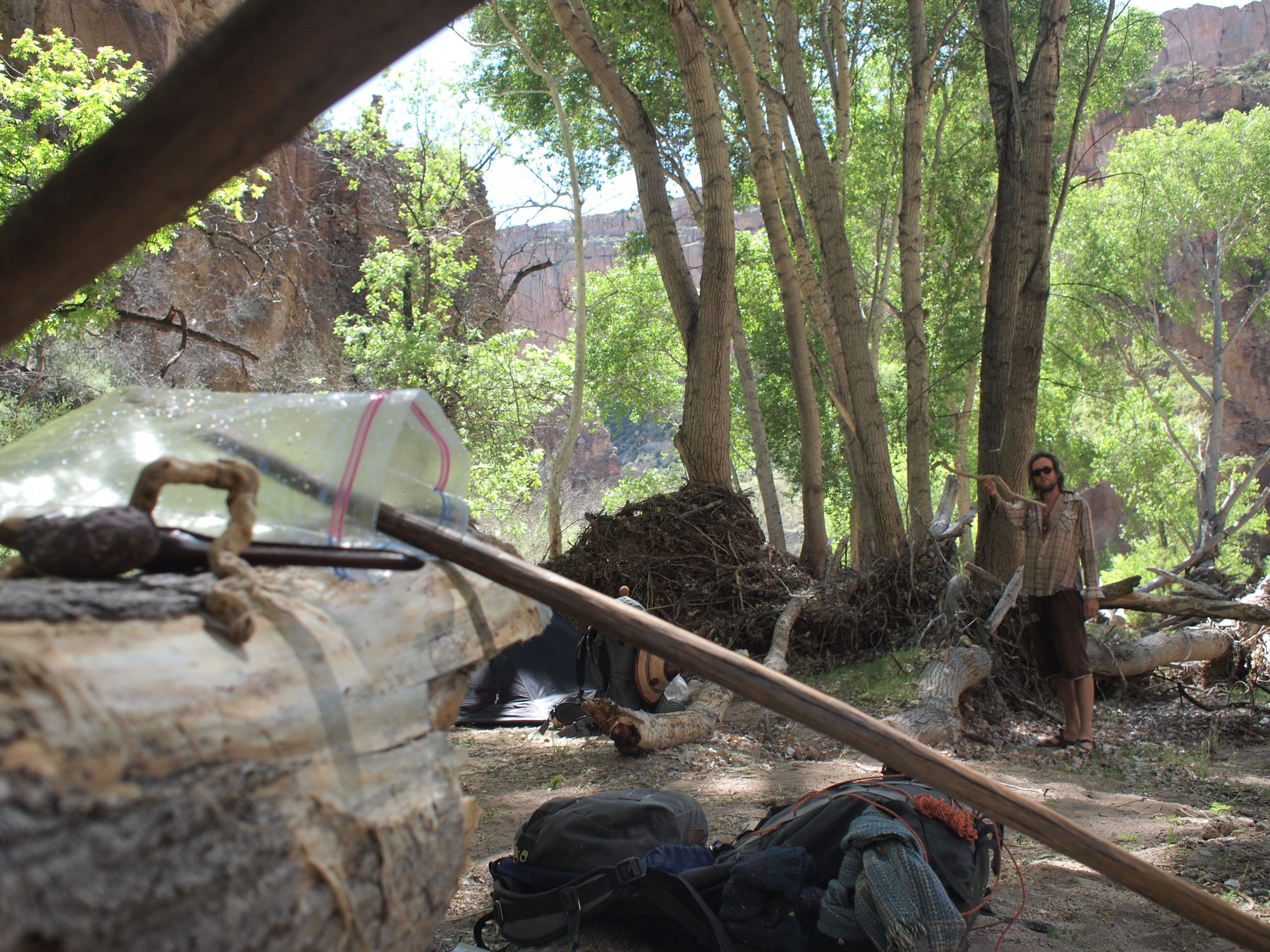
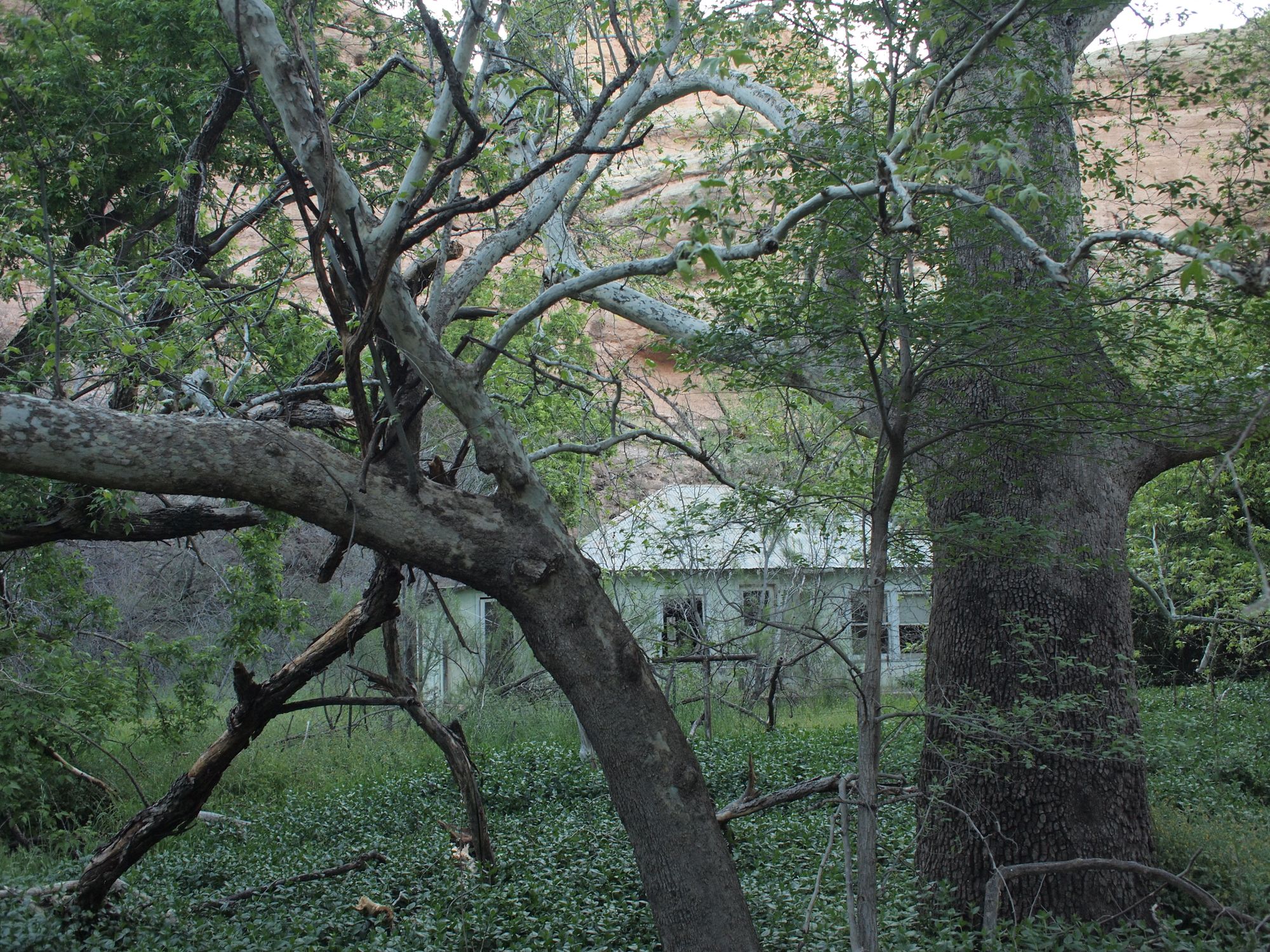
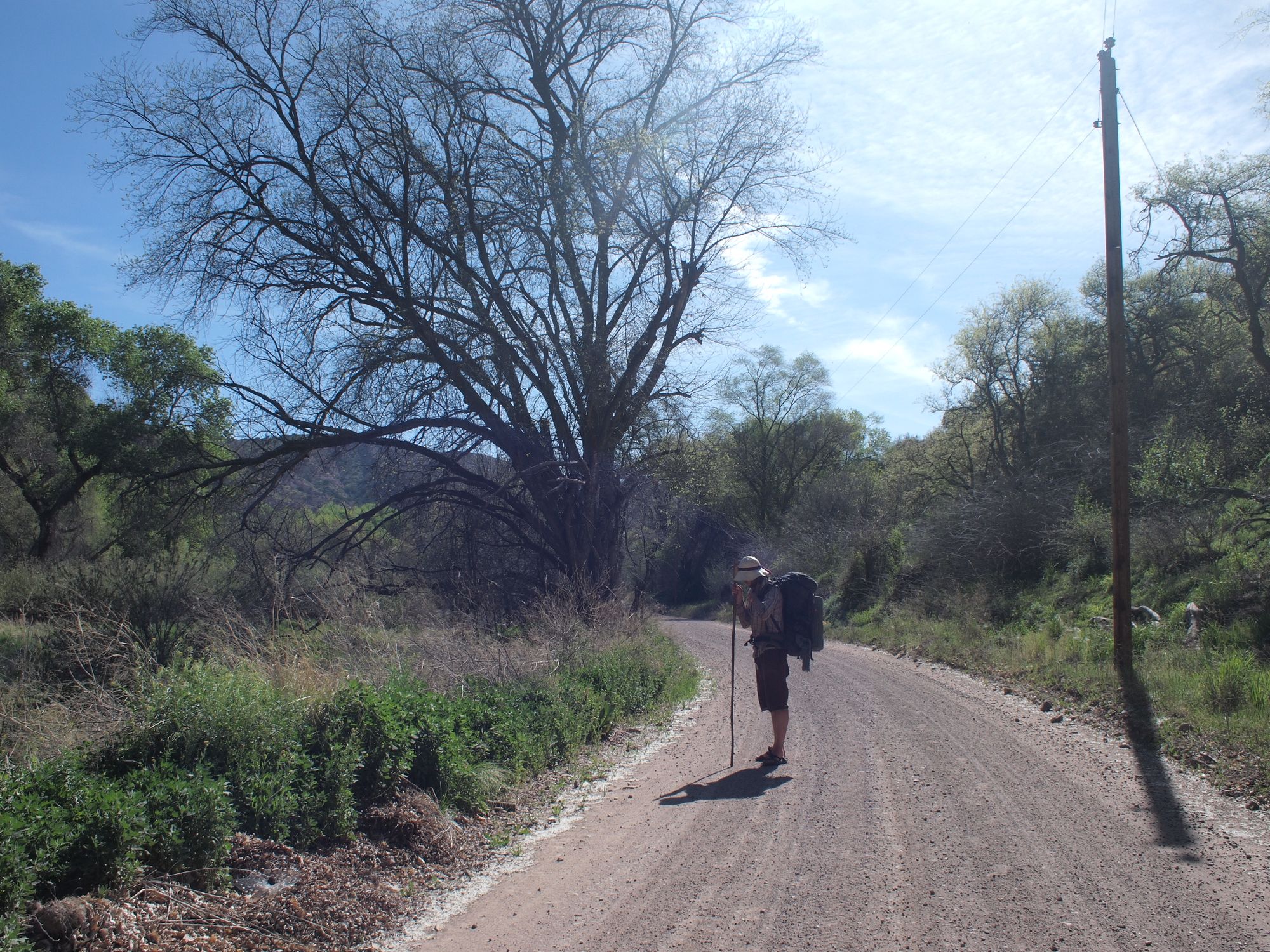
At 153 miles from our starting point we arrive in Klondyke, AZ. Here Kyle sits on the front porch of the (closed) general store as we open the food-box we mailed to ourselves.
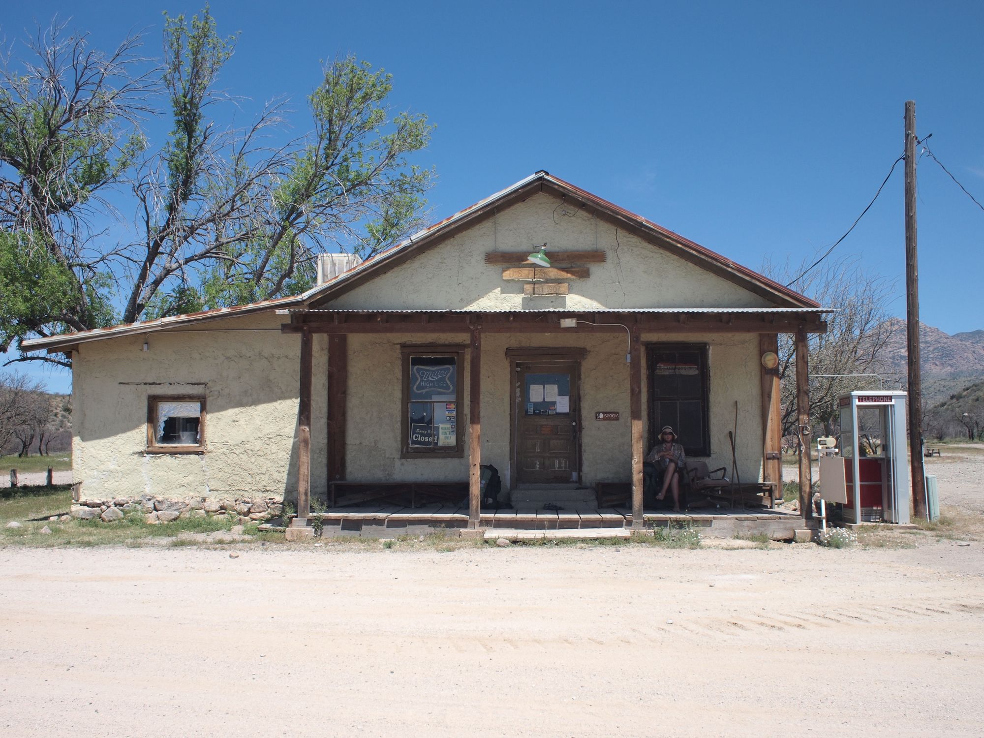
I quite love the description from The Grand Enchantment trail guide about mailing boxes to the (closed) Klondyke Genral Store. This is the description from the website - PLEASE NOTE: Klondyke does not have a post office, but an unwritten agreement with store / lodge owners Beth and Dave Ringwald allowing GET’ers to ship a box to a metal storage freezer (unplugged) located behind the store. The continued availability of this option depends on our positive actions. With this in mind, the following address is for maildrop delivery only. Please limit shipments to one package per person. You MUST ensure that you or someone on your behalf picks up your package in a timely manner. Packages should not be left unclaimed for more than 2 weeks. So that you can best assure your commitment to picking up your Klondyke package, EASTBOUND LONG-DISTANCE HIKERS PLEASE CONSIDER mailing from your first trail town (i.e., Superior) rather than prior to starting your hike. Most unclaimed packages are from those who underestimated the trail’s difficulty and had to bail out prematurely (the first section from Phoenix to Superior is indicative of the trail’s overall level of difficulty). Don’t become a member of Klondyke’s Most Wanted - if you mail a package here, please pick it up! (By the same token, don’t mail your package too late, as delivery can be a bit slower than normal to this remote location.)
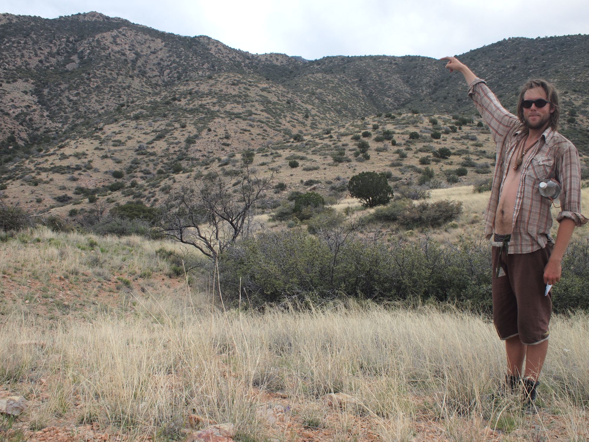
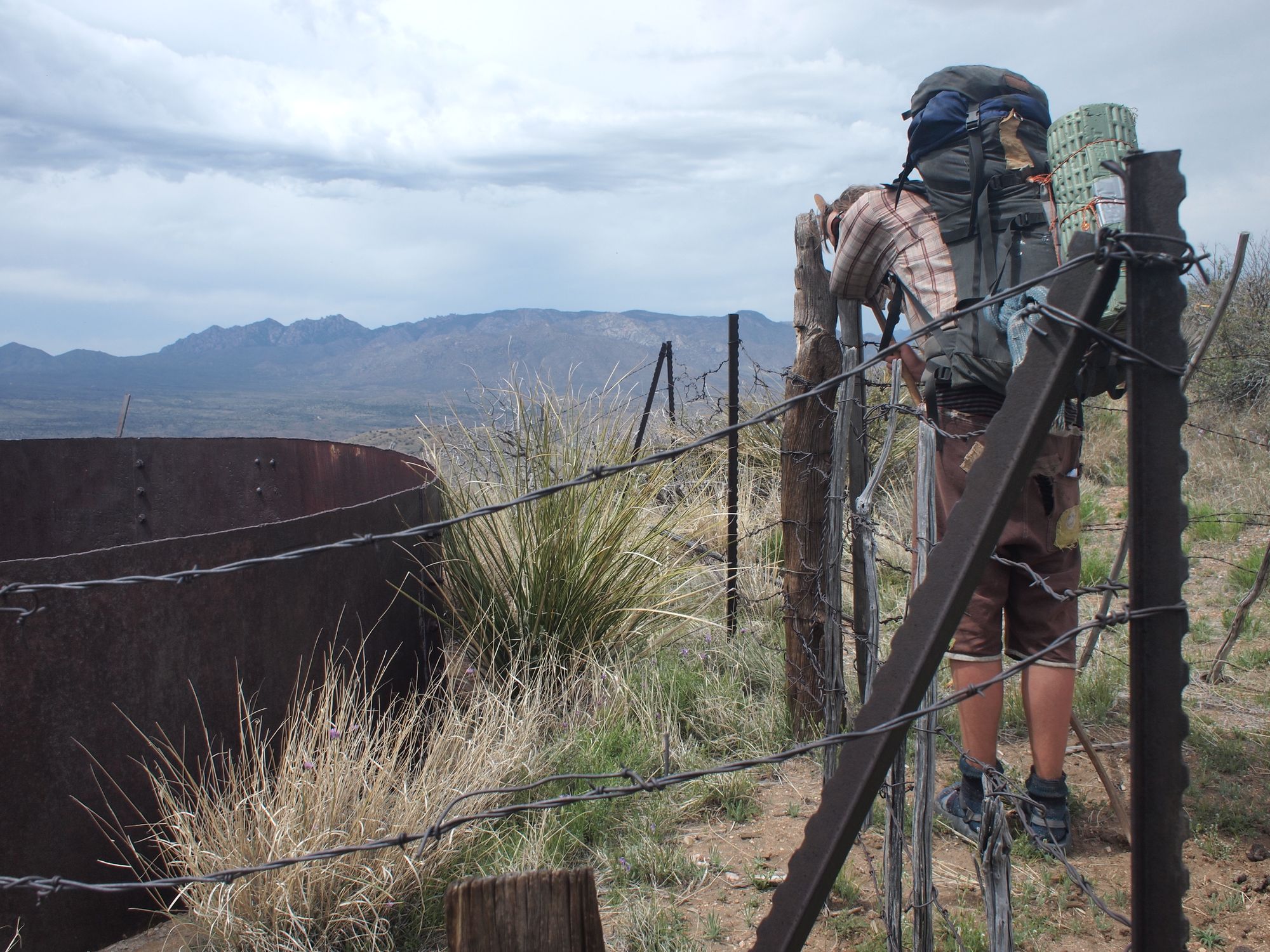
The two photos above give wonderful perspective. In the first one, Kyle's finger points right to the spot that we are headed, cross country, sans trail. The second photo is rather self explanitory. It was a long steep way up the mountain with a heavy pack. This, however was not the end of the elevation gain for the day. Here we head into the Pinaleño mountains.
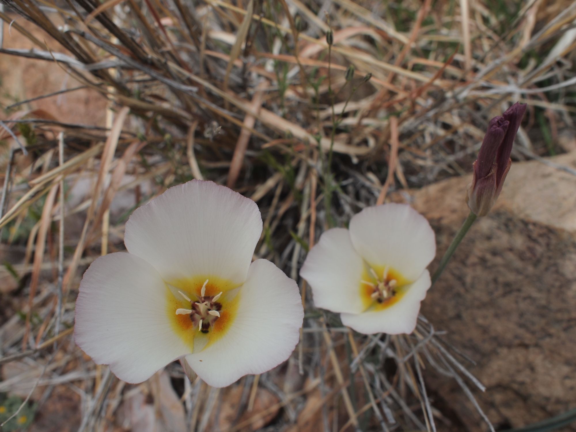
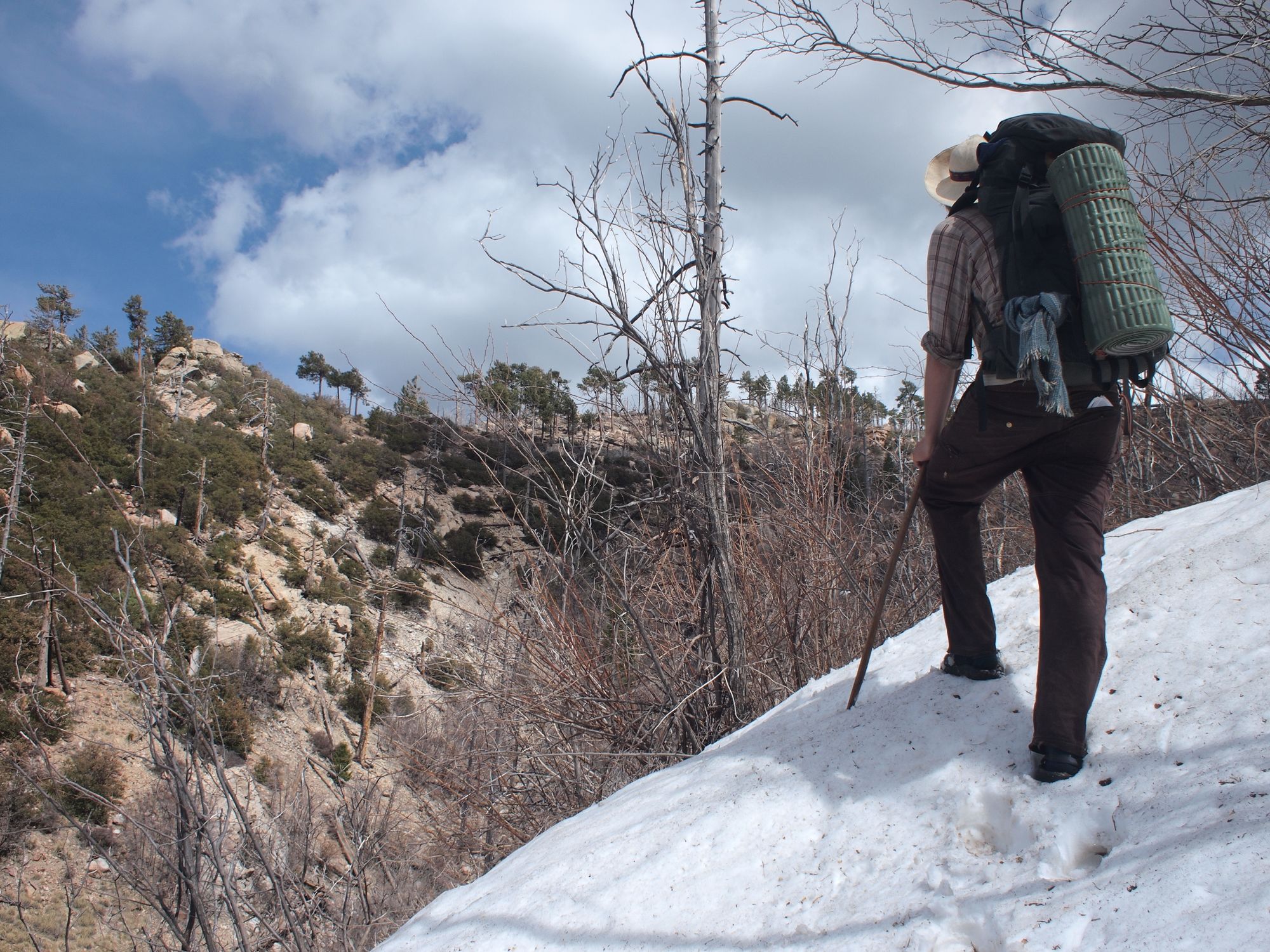

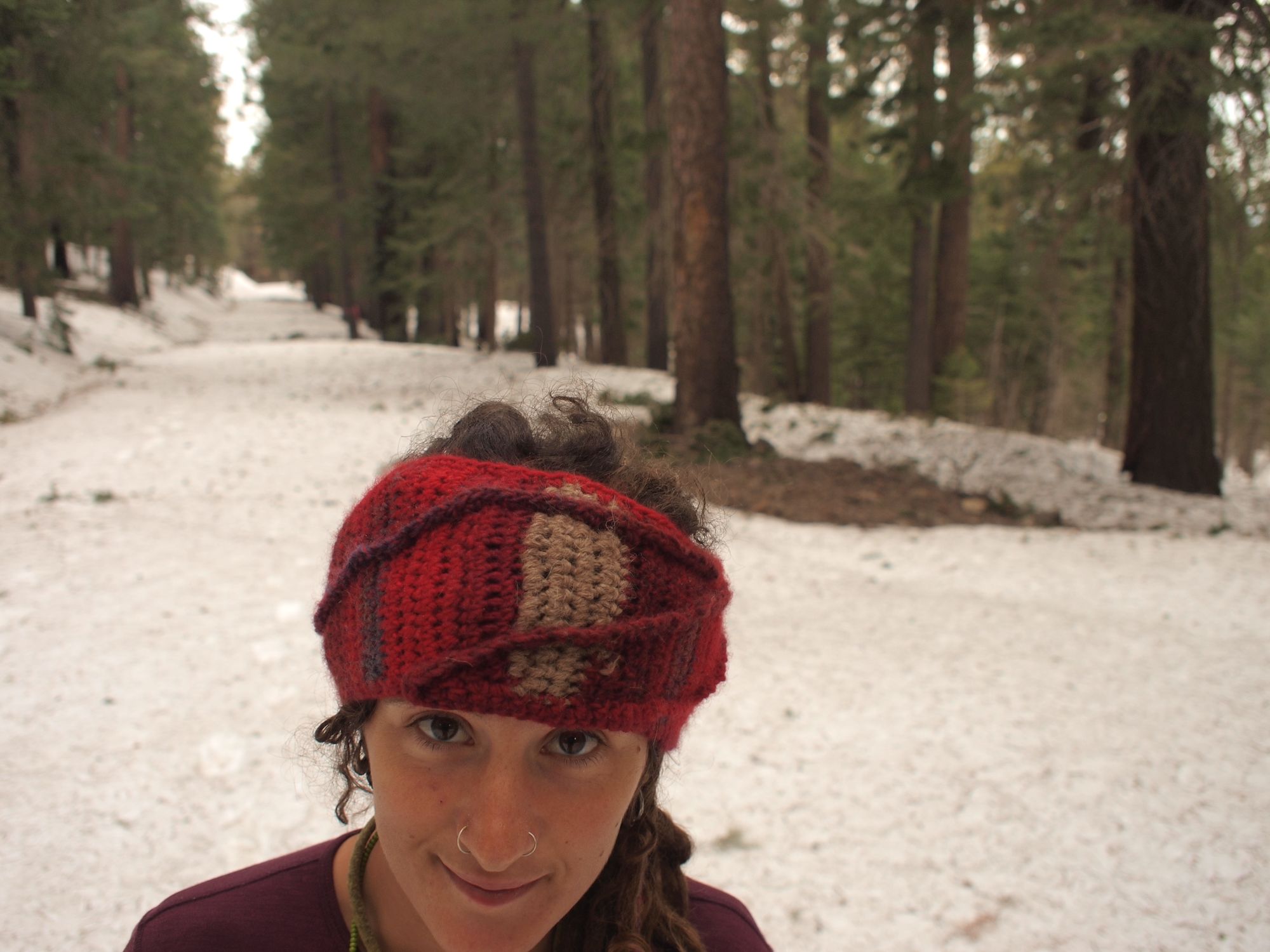

One of the miraculous things about the Southwest, is that one can walk from boiling hot desert to winter snowpack within a matter of hours. They call these mountains in the midst of the desert, Sky Islands. Though they are connected by land instead of water, they might was well be in the middle of the ocean for how isolated they are from one mountain range to the next. This creates marvelously unique ecosystems housing many endemic species.
This seems like a good place to discuss our footwear. We hike in sandals. At the time we hiked the GET our choice footwear were Chacos. For snowy and wet weather we carried wool socks and waterproof neoprene socks to wear with the sandals. This system worked quite well, the only major drawback being large ice clumps that woud form between the neoprene socks and sandal-footbed.
Our night on top of the Pinaleños was cold and wet. We hiked until dark hoping to find a better place to pitch the tent. The best we found was a small patch of soggy mud-gravel in the middle of the road near to where we would begin our descent in the morning.
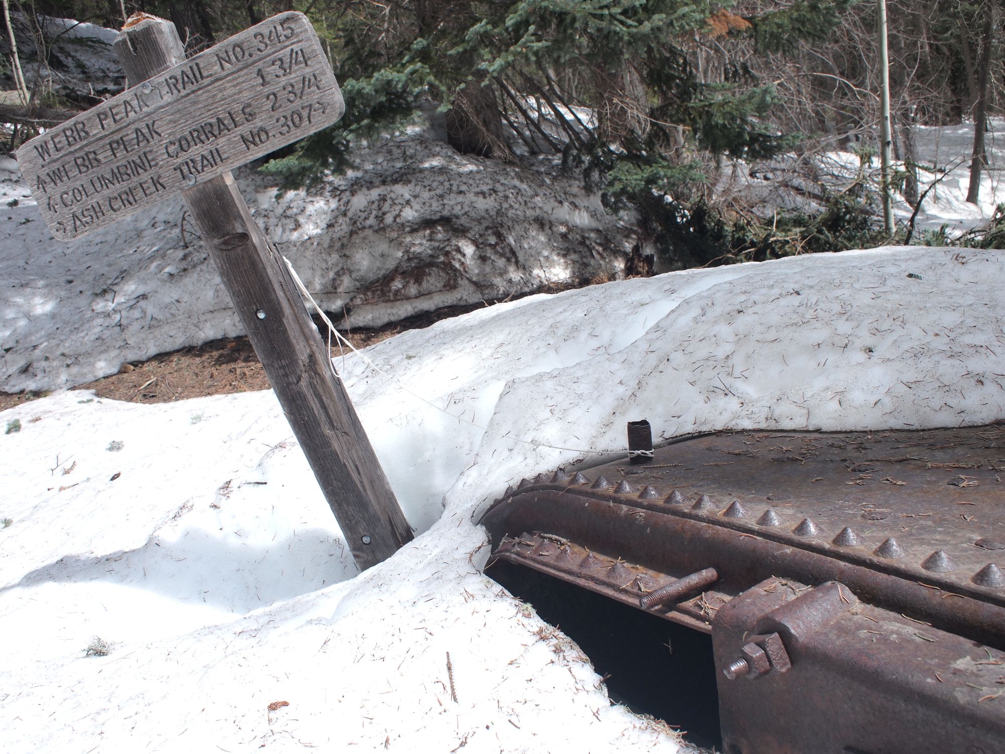
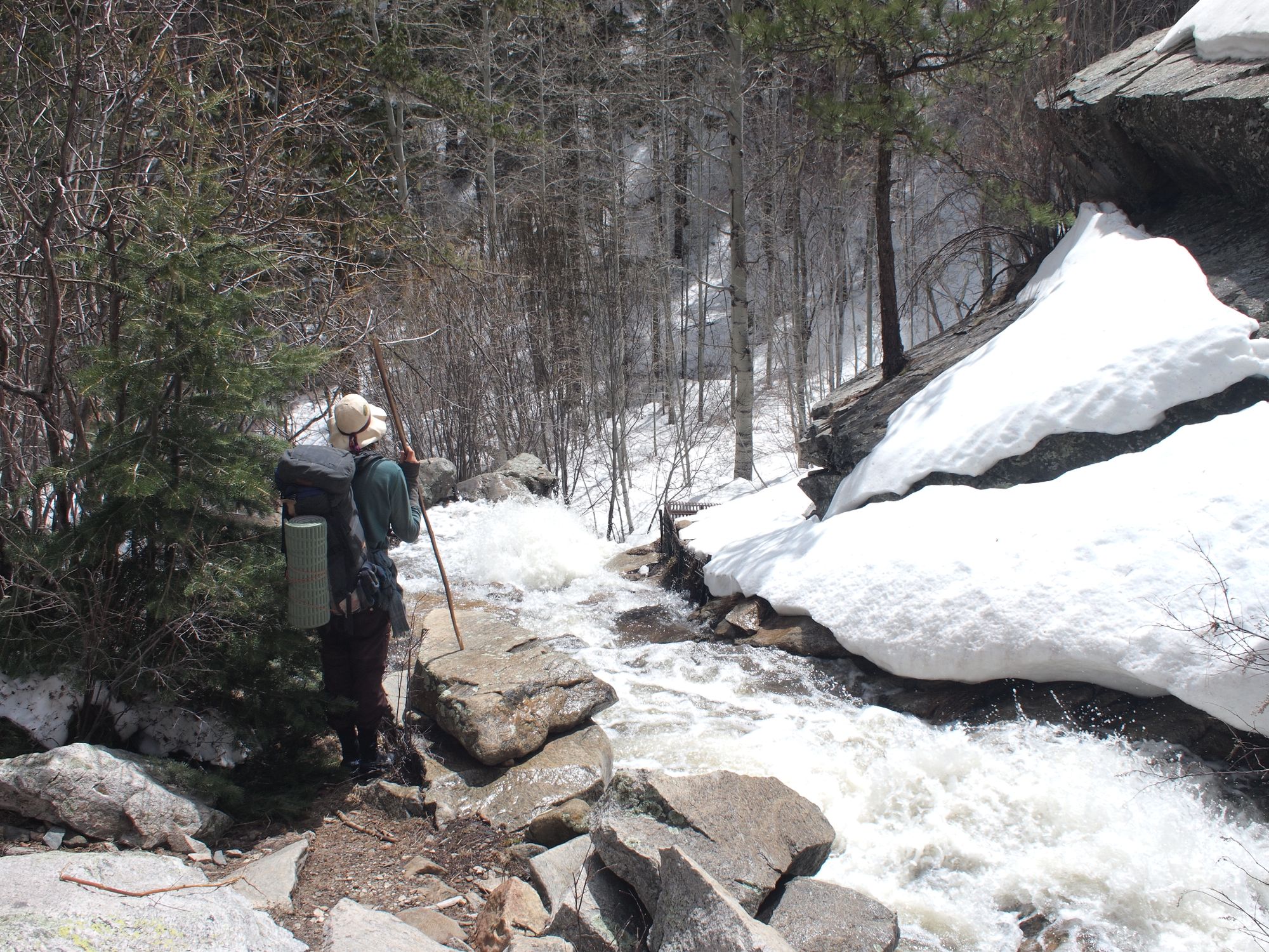
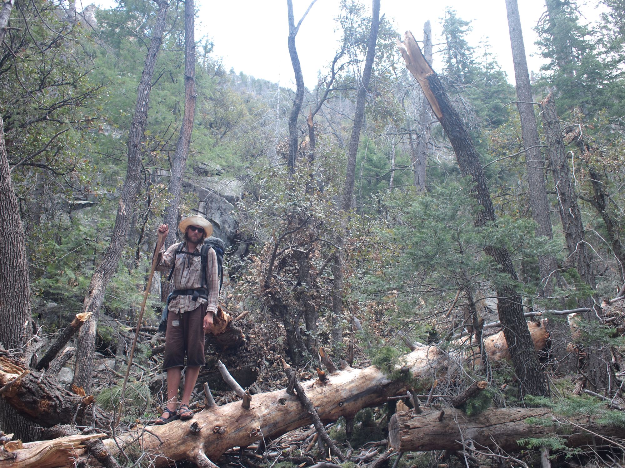
It took a minute in the morning to find the correct spot to begin our descent as all trails were buried with snow. The first section of our descent had maybe the scariest moment of the entire journey. We picked our way carefully down the steep snow-filled gully, along side a raging snow-melt creek. Being no strangers to bushwhacking through snow and ice (both of us grew up in the North), we were enjoying the beautiful descent and excited about our progress to warmer climes at low elevation once again.
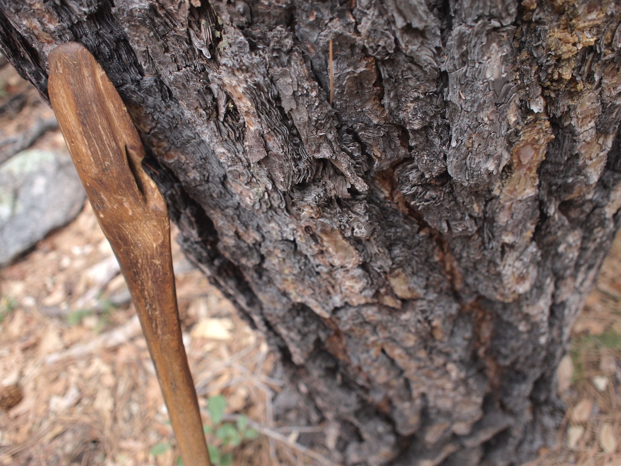
At a particularly deep, dark and steep spot Jeannie began to slide atop the ice covered snow toward bouldery rapids of snow-melt. Ten feet or so from the precipice she stuck her Saguaro rib walking stick into the snow to self-arrest, but the stick broke, quickly she stabbed the broken end into the snow again and came to a halt. Heart pounding, skin burning from the grating ice crystals. Aside from some close encounters with rattlesnakes, this was the only truly scary moment on our voyage.
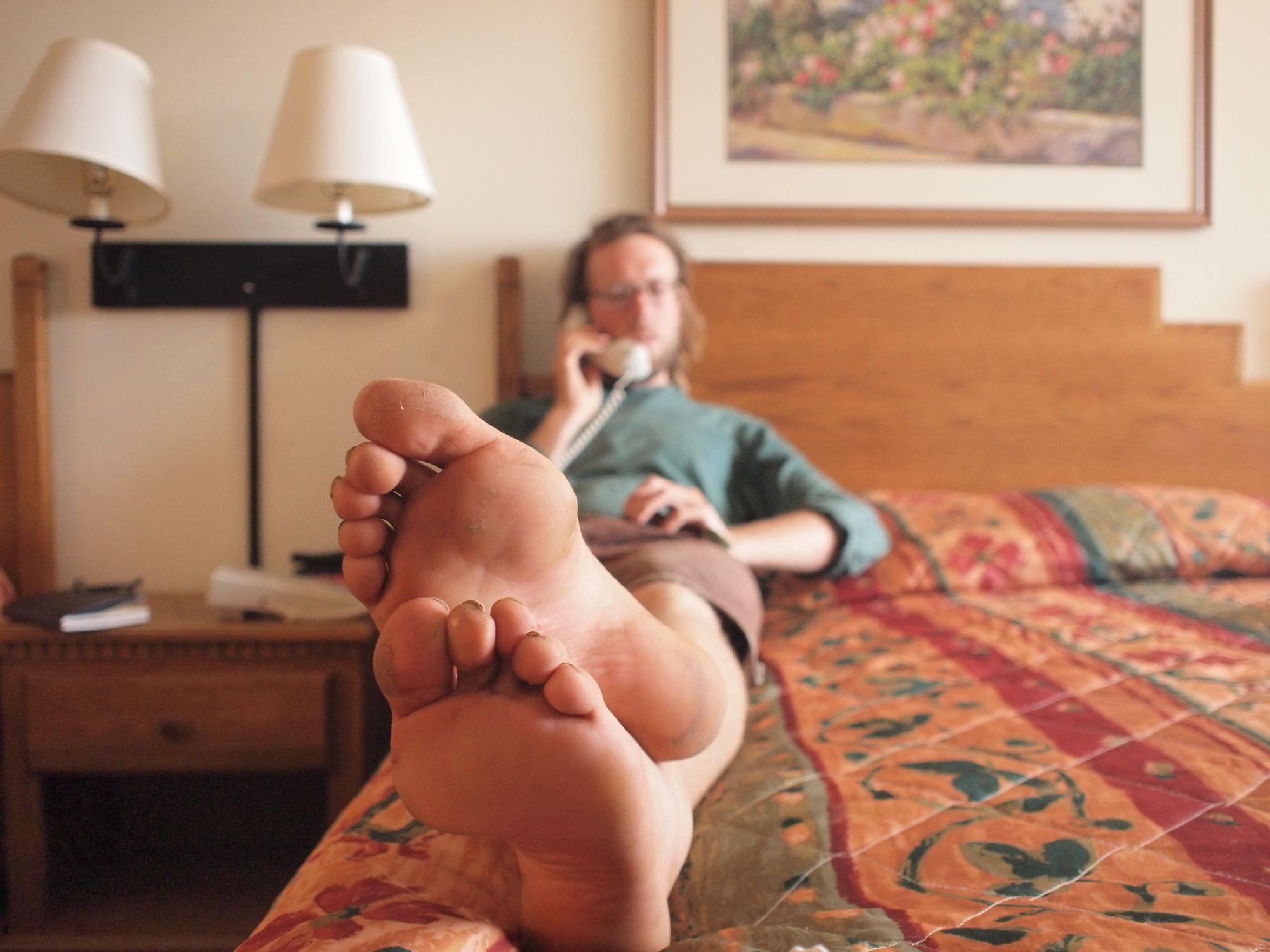
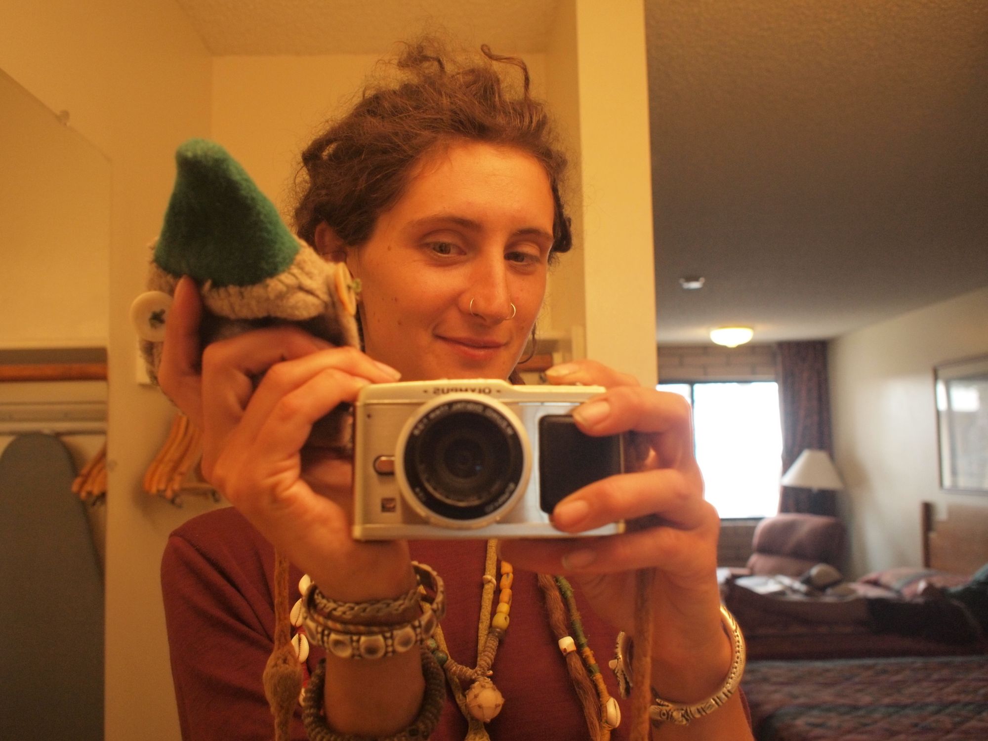
At 230 miles from our starting place, we arrived in Safford, AZ. To this day, this is one of the only times we have ever gotten a hotel room while traveling the States. It may have taken three showers to get off the grime. One night and two meals at the local diner and we were ready to hit the road again.
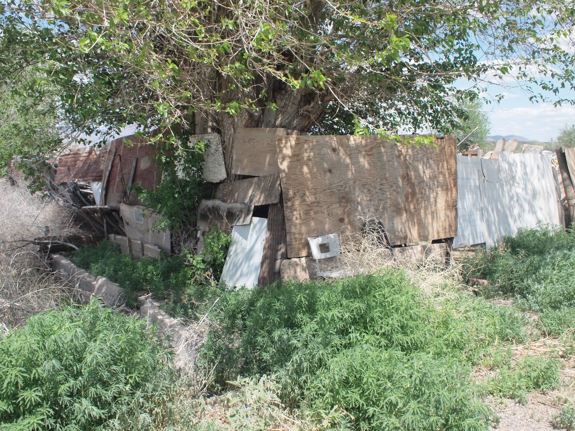
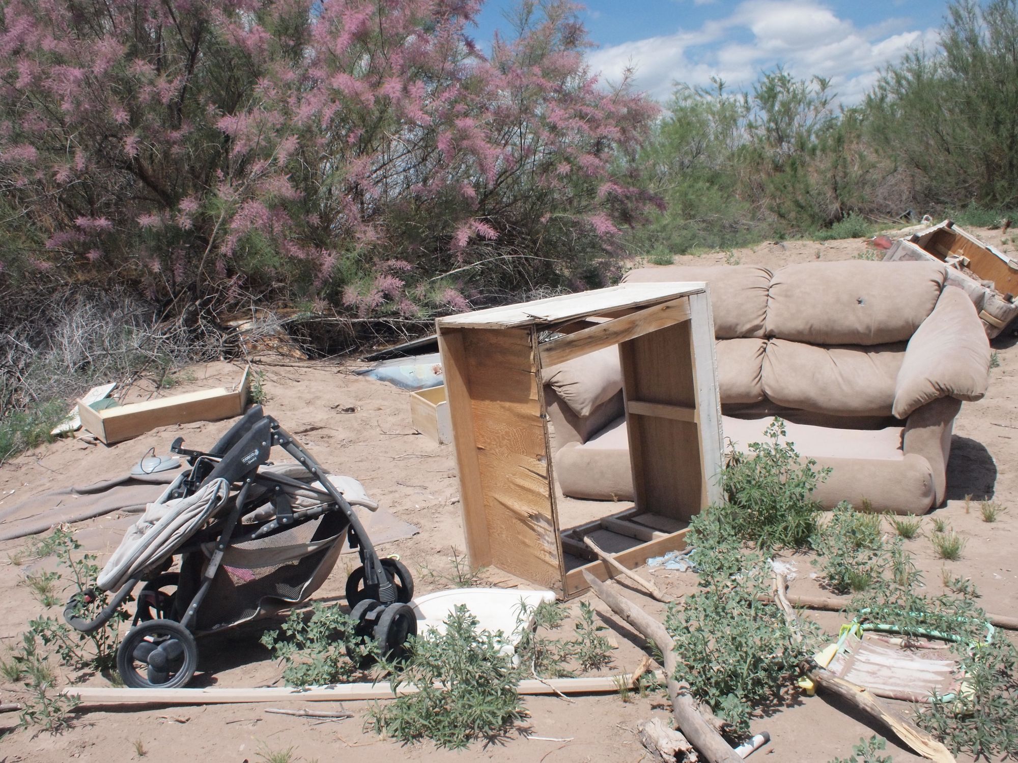
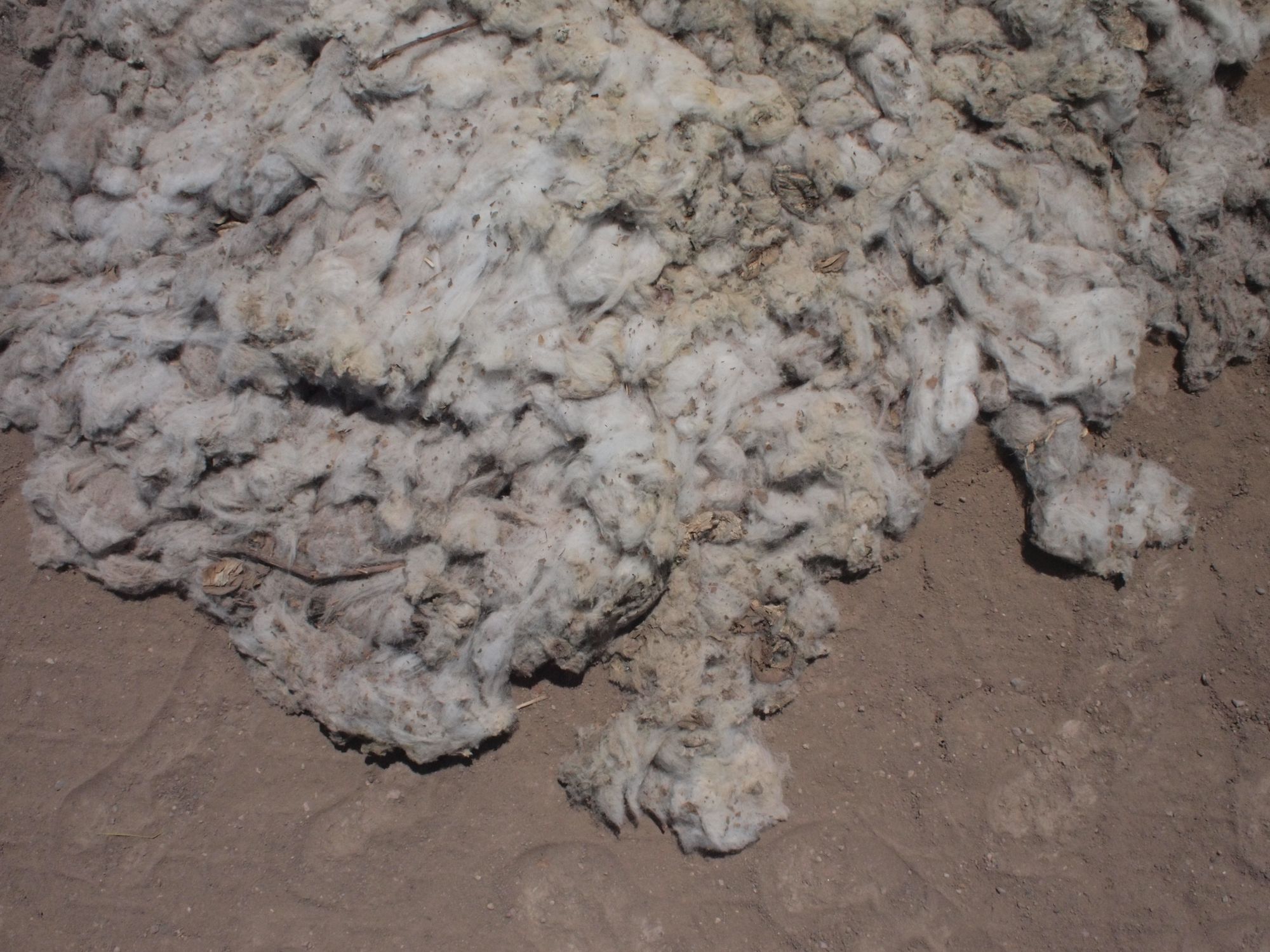
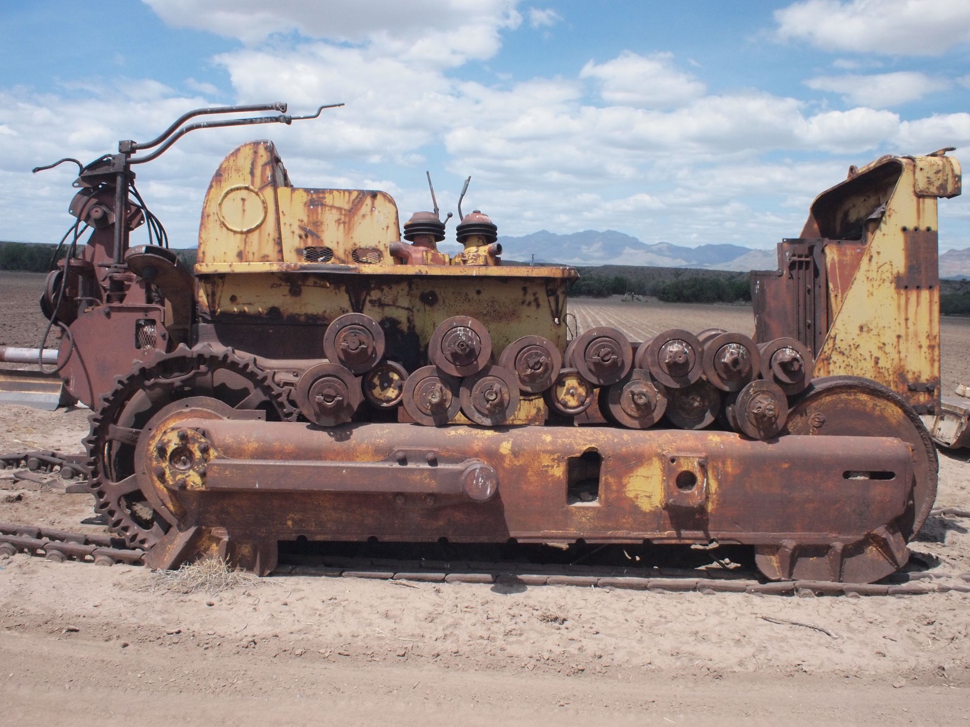
Safford is a cotton town. The Gila river gives its remaining water to the fields of cotton filling the valley. The walk from Safford, through the cottonfields and back into the wilderness was heartbreaking. Rivers drained. Garbage piled. We walk on.
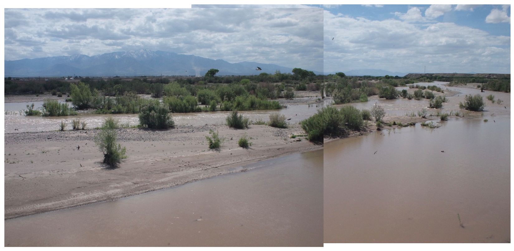
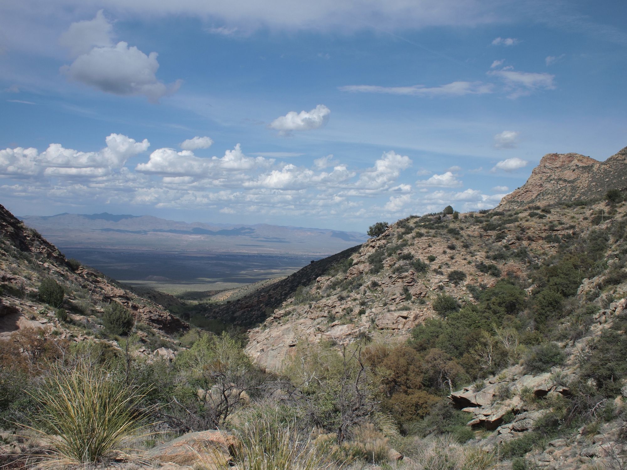
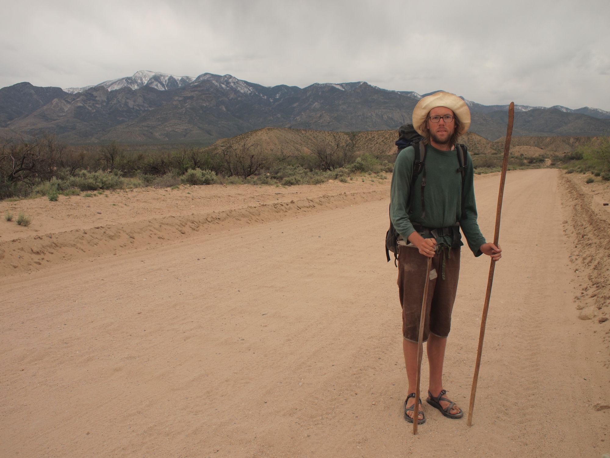
Here we cross the Gila River, looking back at the mighty Pinaleño Mountains and headed toward the Safford-Morenci trail. The next section of our GET adventure will be coming soon.
