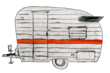
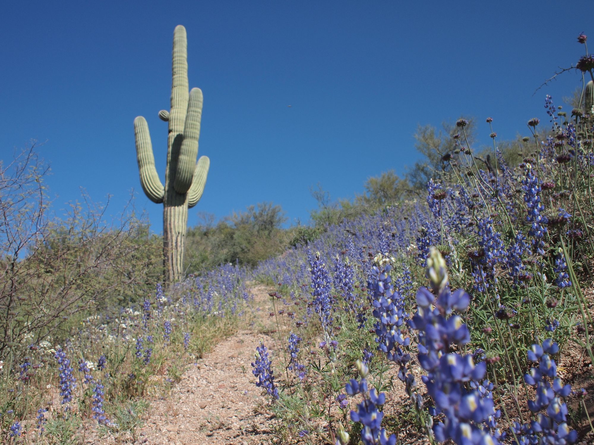
This is the record of our journey along the Grand Enchantment Trail, also known as the first thing that brought us to Truth or Consequences, New Mexico. The winter and spring of 2010 was a wet one in the Southwest, high mountains were blanketed in feet of white and the low desert wore a cloak of flowers like no one had seen in decades. The GET traverses 770 miles of high mountains and low desert in Arizona and New Mexico from Phoenix to Albuquerque.
We spent the winter leading up to that spring in fridgid northern climates, living in my (Jeannie) grandparents basemement as I cared for my Grandma in her last months of life. It was an intensely beautiful-difficult time, and the only thing we wanted to do at the end of it was walk. Walk to process. Walk to explore. Walk to warm our bones in the desert sun.
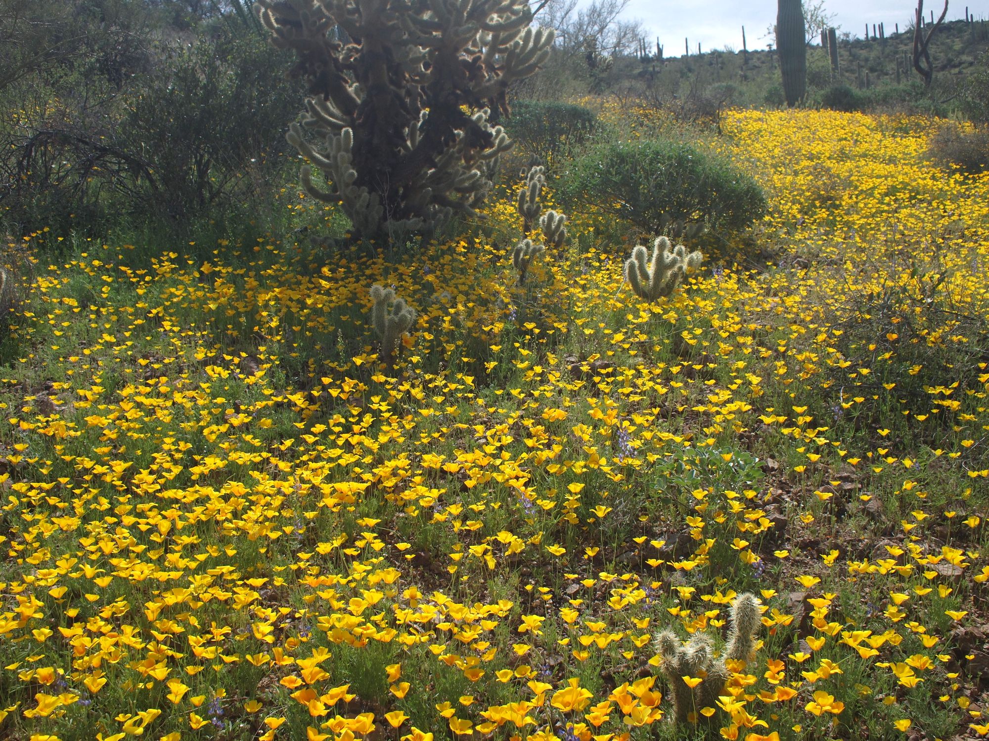
On April 4th my brother dropped us of at the edge of the Superstition Mountains east of Phoenix and we started walking. In keeping with our true style we just jumped into it, having only a stack of topo maps, a vague idea of what we were getting into, and carrying way to much stuff (food and art supplies namely). The way is remote and aside from the few small towns with grocery stores, you need to mail yourself boxes of food so as not to get stranded in Klondyke, AZ with nothing but a bag of nuts to your name. So we mailed boxes of food to a few choice locations, and walked.
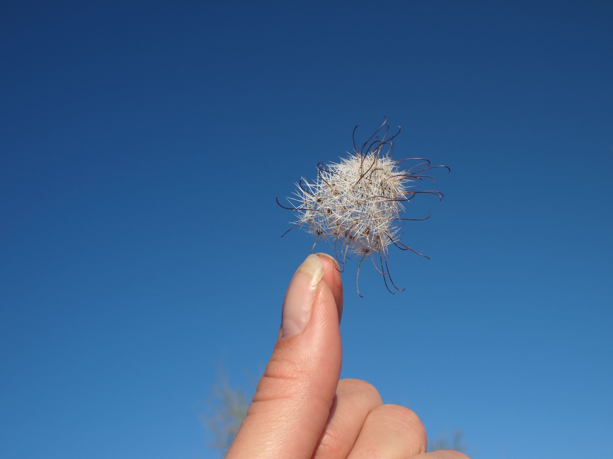
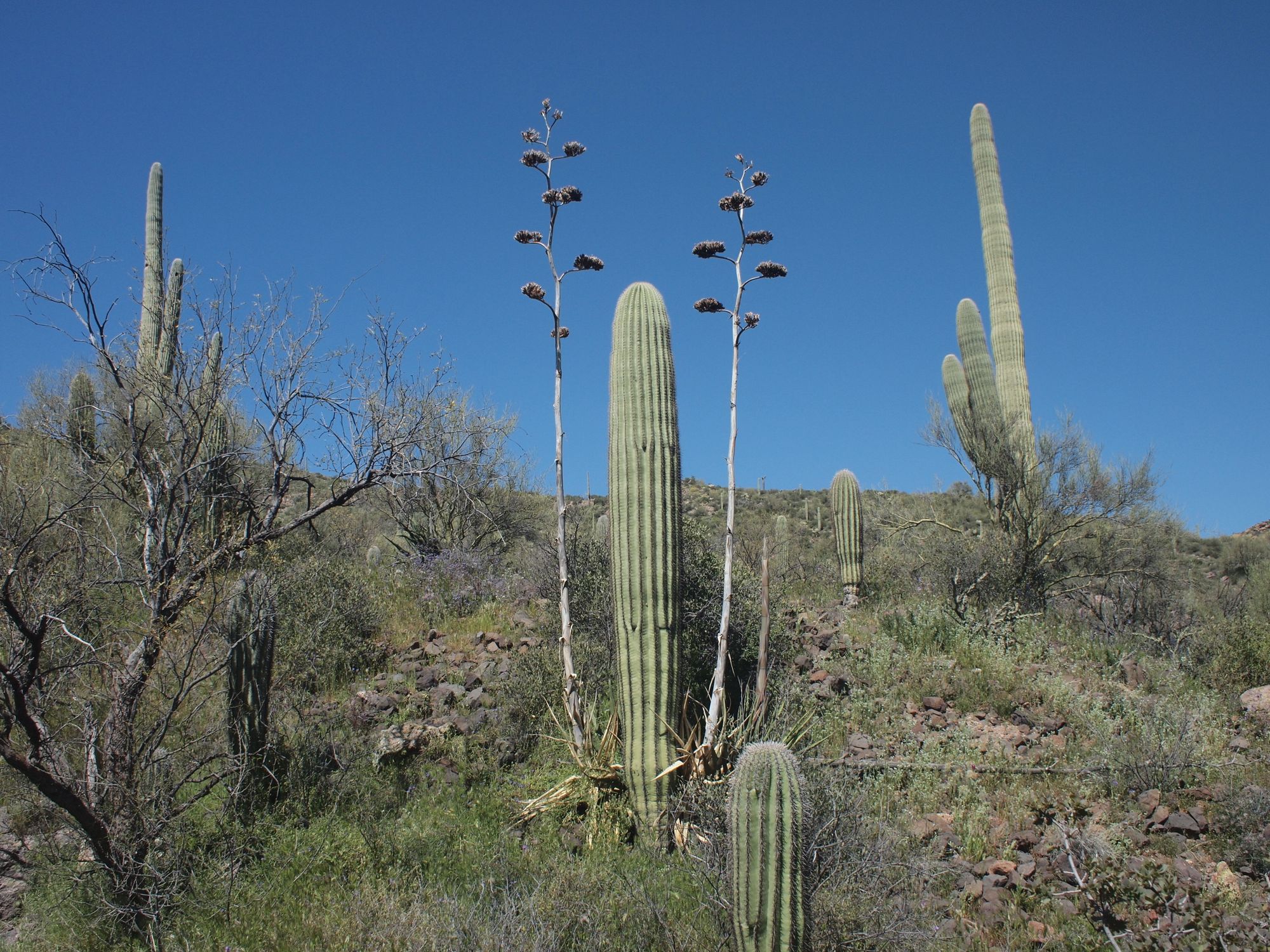
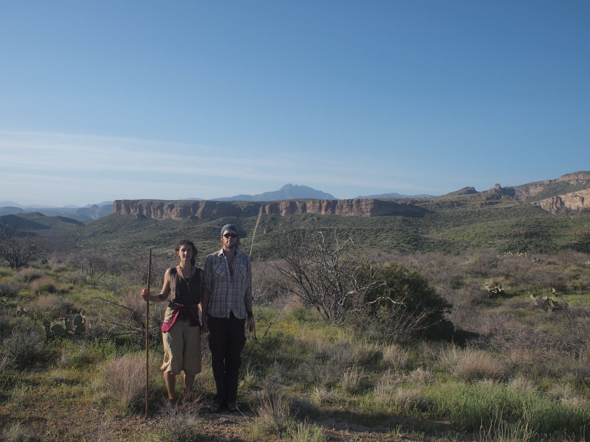
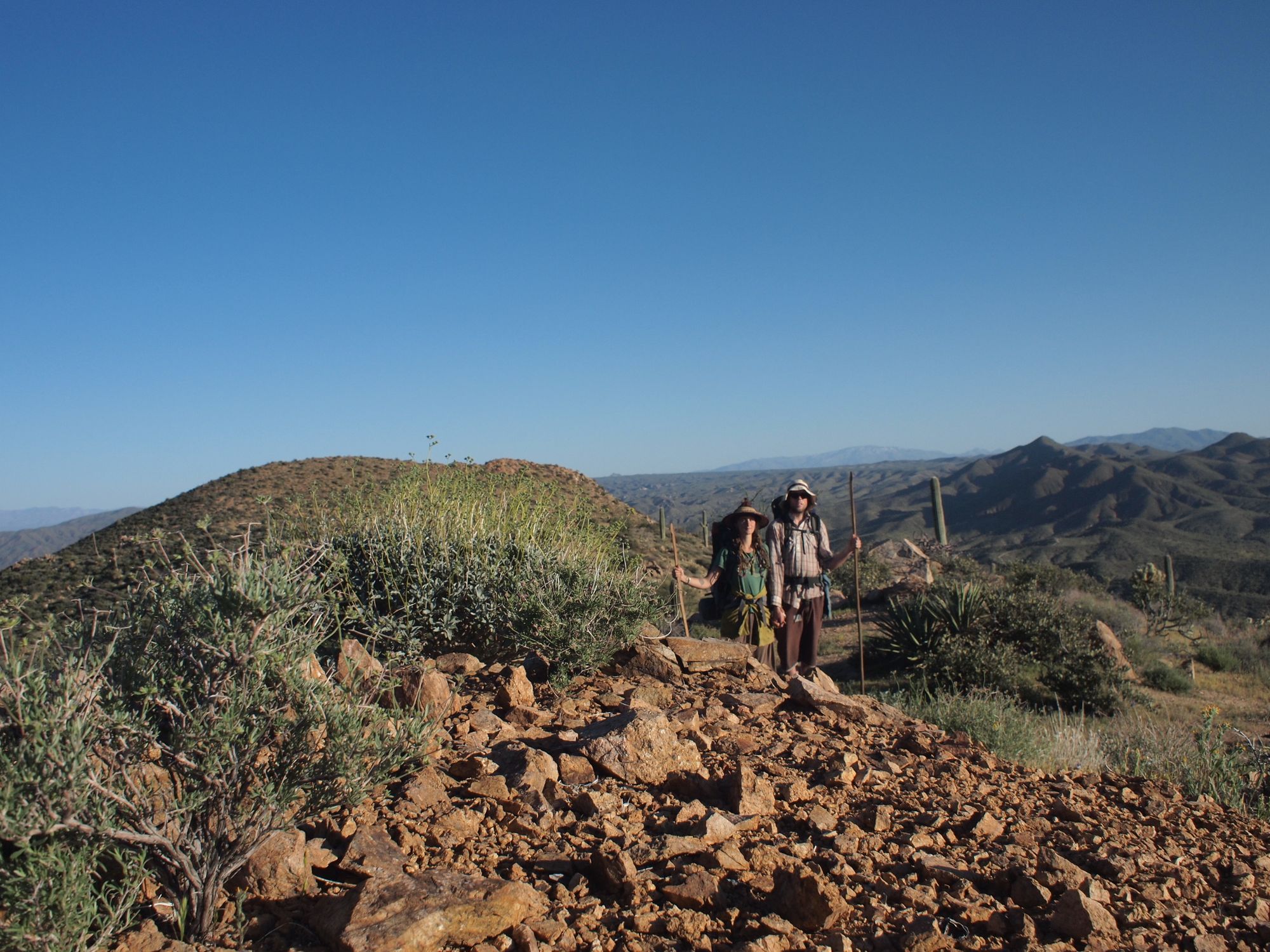
This was my first year with a digital camera. Before this I was a strict lover of analog phototography, black & white silver gelatin, small format, medium format and large format....any of them were good with me! But now we had technology, and a timer, so the novelty of getting photos of both of us was quite exciting.
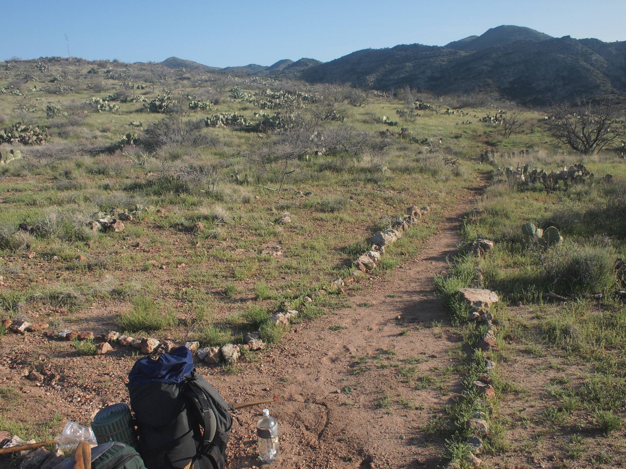
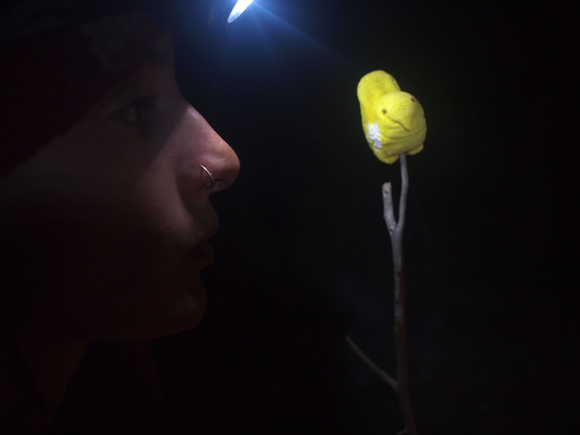
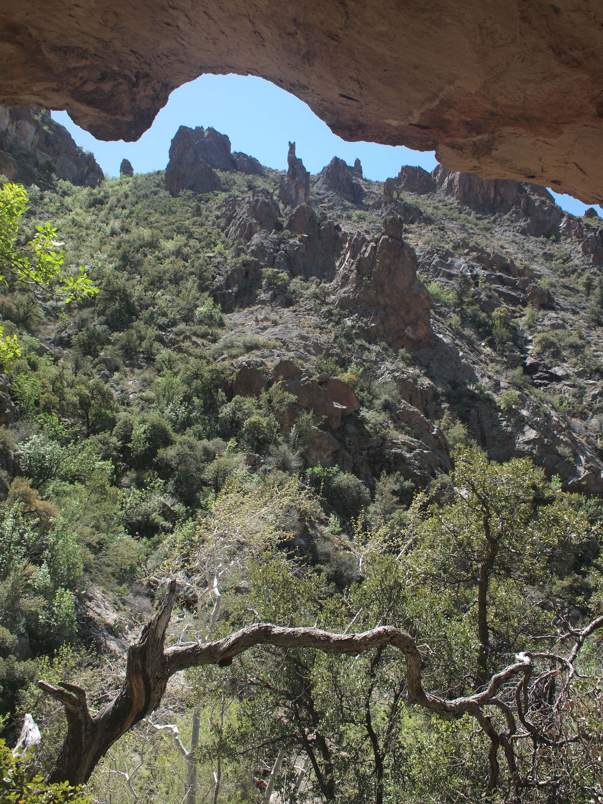
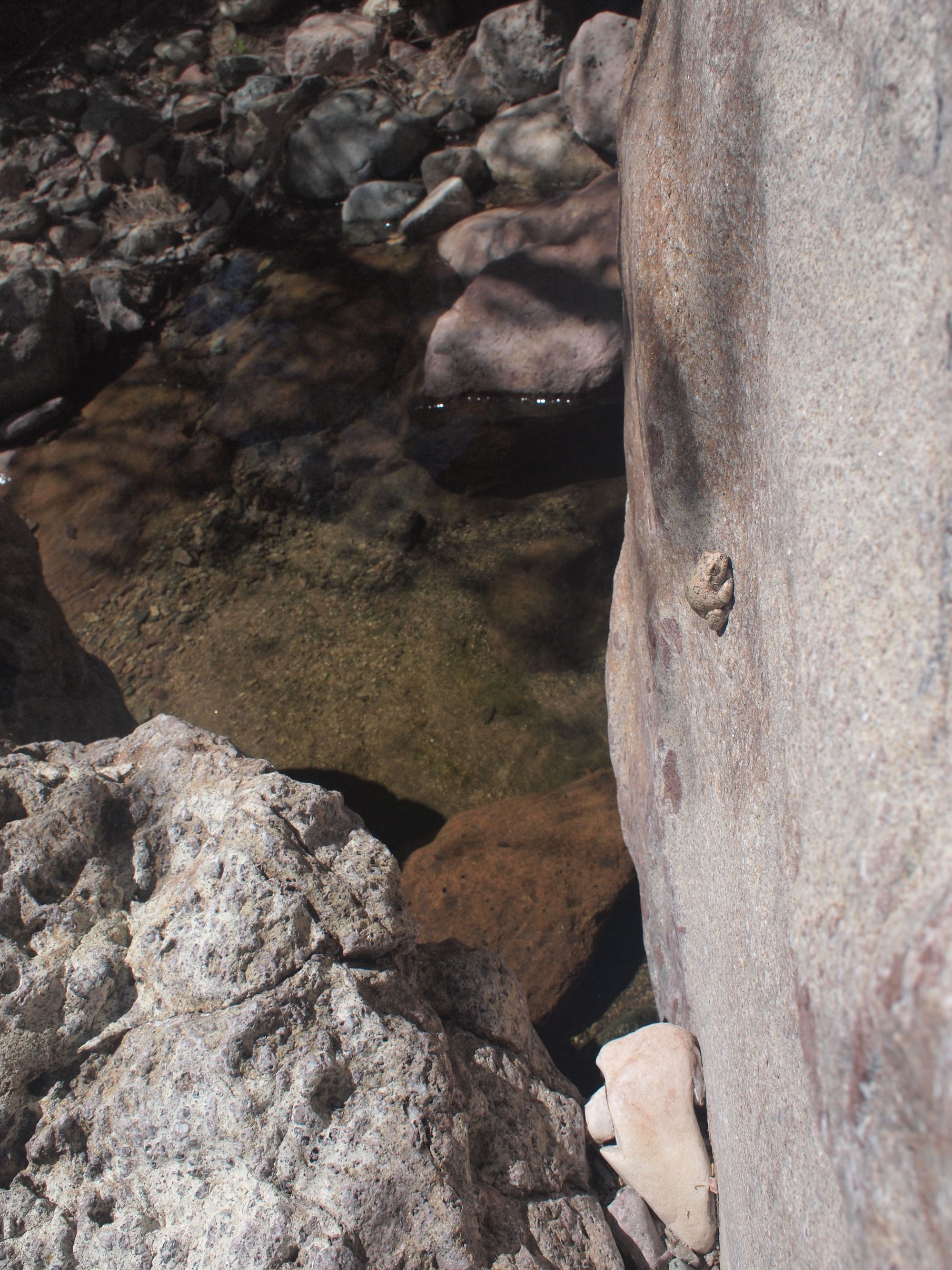
I hope that you never have to bushwhack down a mountain through a thicket of Catsclaw. Its like a million baby pumas digging into you from all sides, having nowhere to go but forward, down the mountain, into more razor sharp claws. After descending down a barely-there trail, compleatly overgrown with Catsclaw, we landed in a riparian paradise. Water, giant sycamores and ancient dwellings. We nearly stayed, said forget the walking, lets just stay here in this place of perfection until we run out of food and then move onto the next thing. ....needless to say that didnt happen, but the idea was seriously pondered. We spent the night, and walked on.
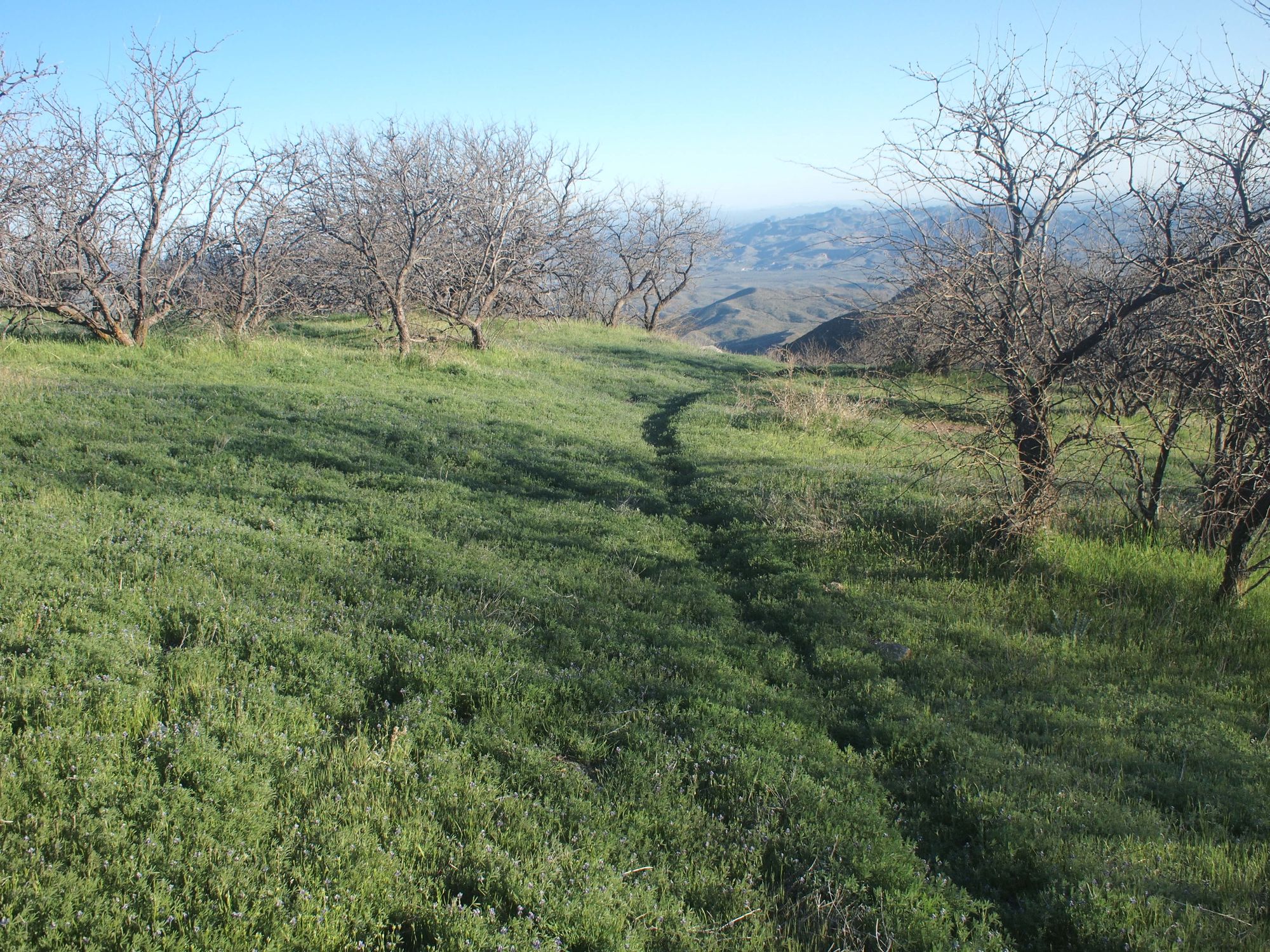
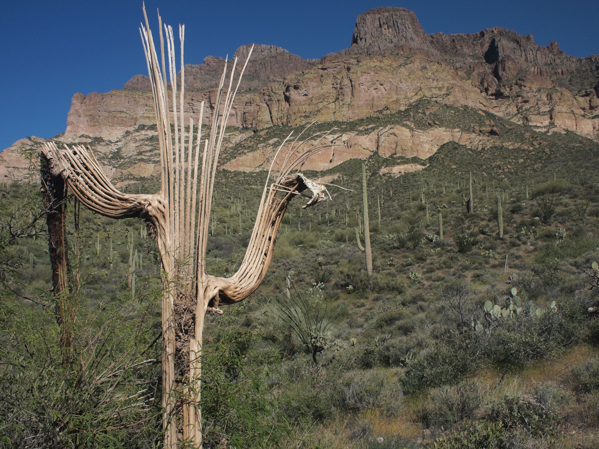
We stayed in the little town of Superior only long enough to stock up on food and mail a package of things we didn't need to a relative's house. Within the first days of walking we realized there was going to be no time for sitting in the shade of a mesquite and making art. There was too much walking to be done in between water sources, and when it was time to eat and rest, we were too tired. Looking back on it now I cant beleive how much weight we carried, despite ditching the art supplies.
Now is not the moment to dive in the world of lightweight backpacking nerdiness, (There will be a whole page devoted to gear making that will be coming before too long) but I will say that since the Grand Enchantment Trail we have traded in our steel pots for titanium ones, a 90s tent for a more modern hyperlite one and wool blankets for puffy-pants. Though our love of hiking in sandals hasn't changed, we now hike in Lunas instead of Chacos.
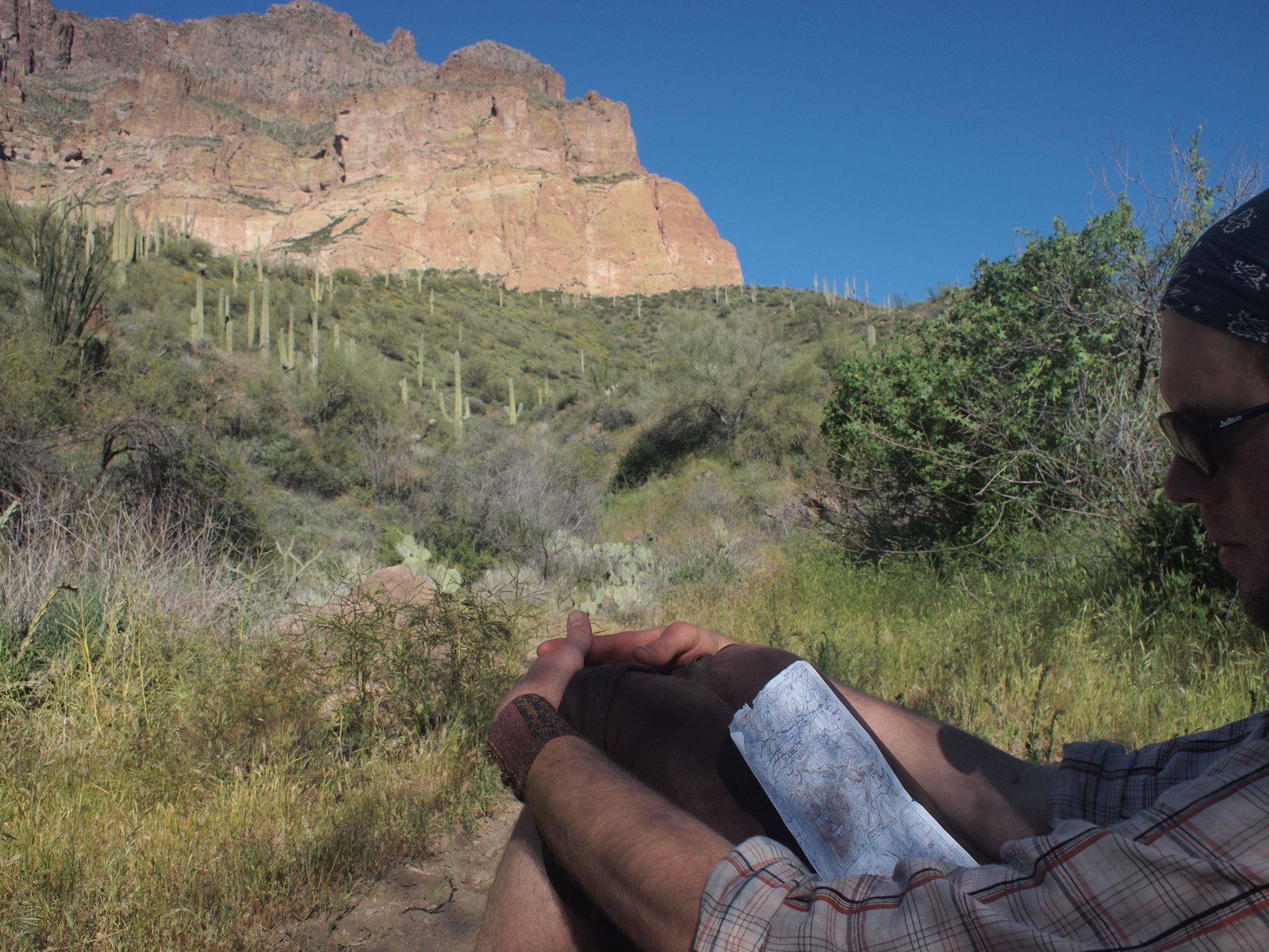
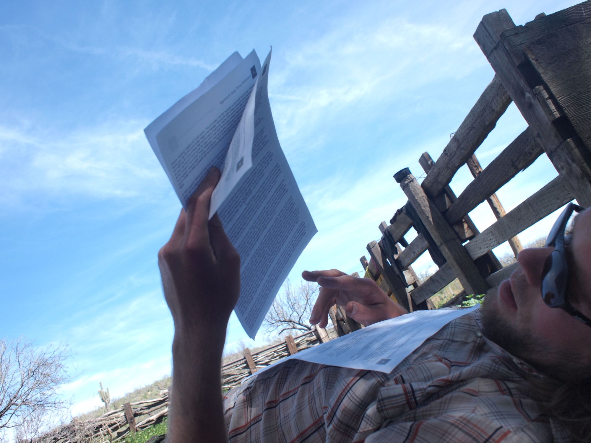
Before departure we printed all of the topos for the route on regular printer paper. So as not to carry all of them from the begining we shipped the relavent sections with the boxes of food that we shipped to the remote spots along the way. As we passed through each mapped section our crumpled and dirty guides served as firestarter. Oh yes, and on this journey we cooked only over fire, we brought no stove.
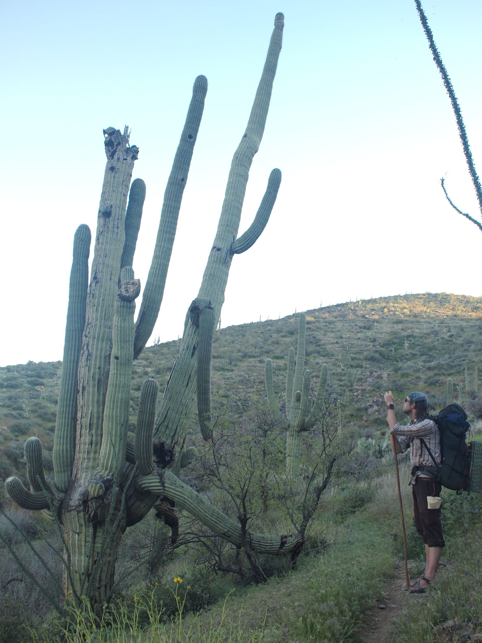
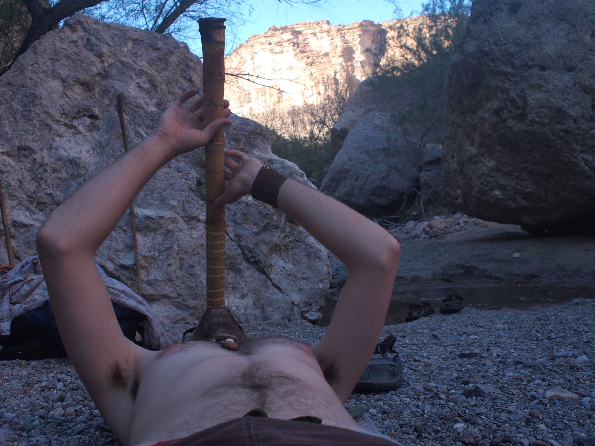
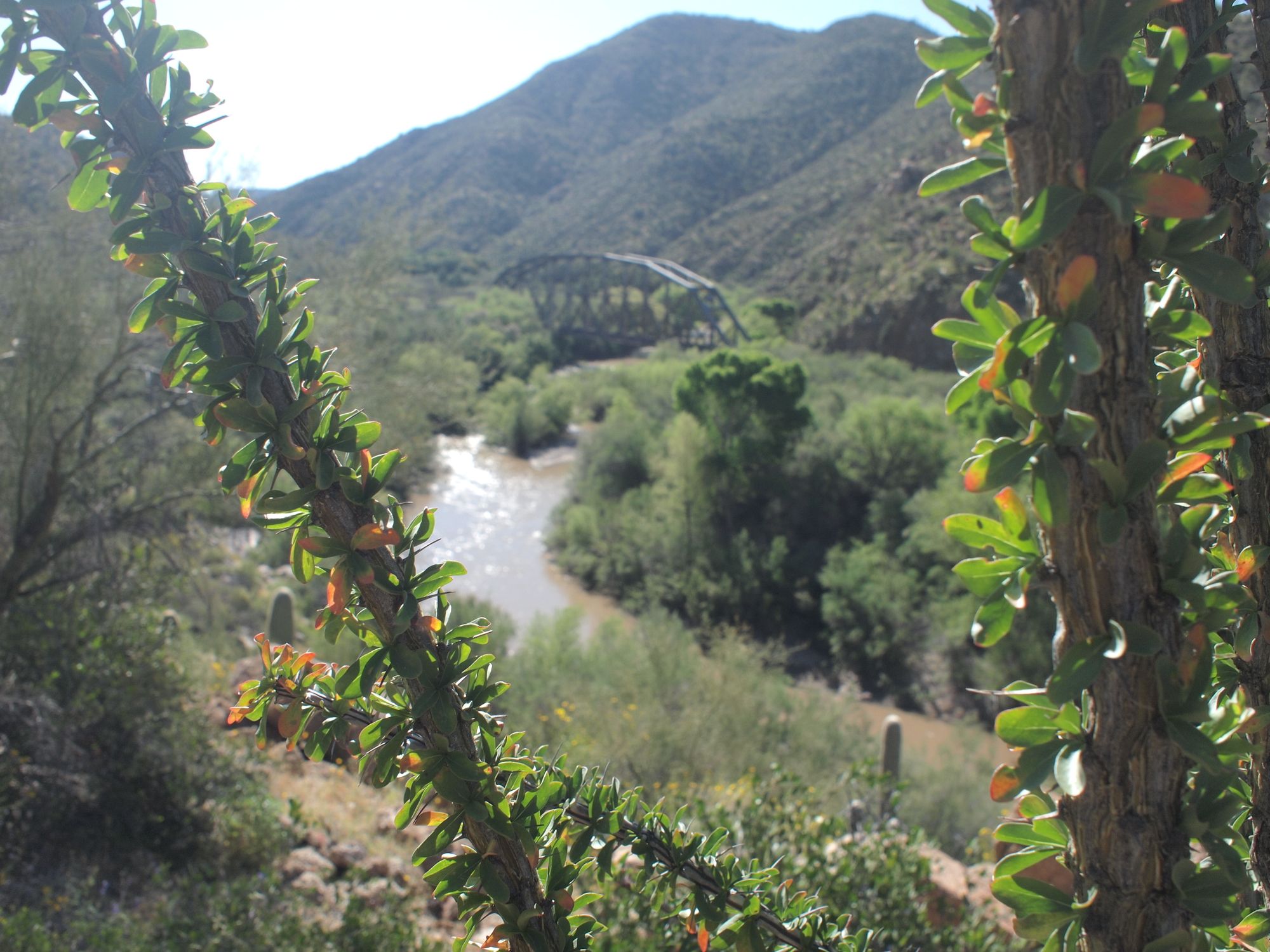
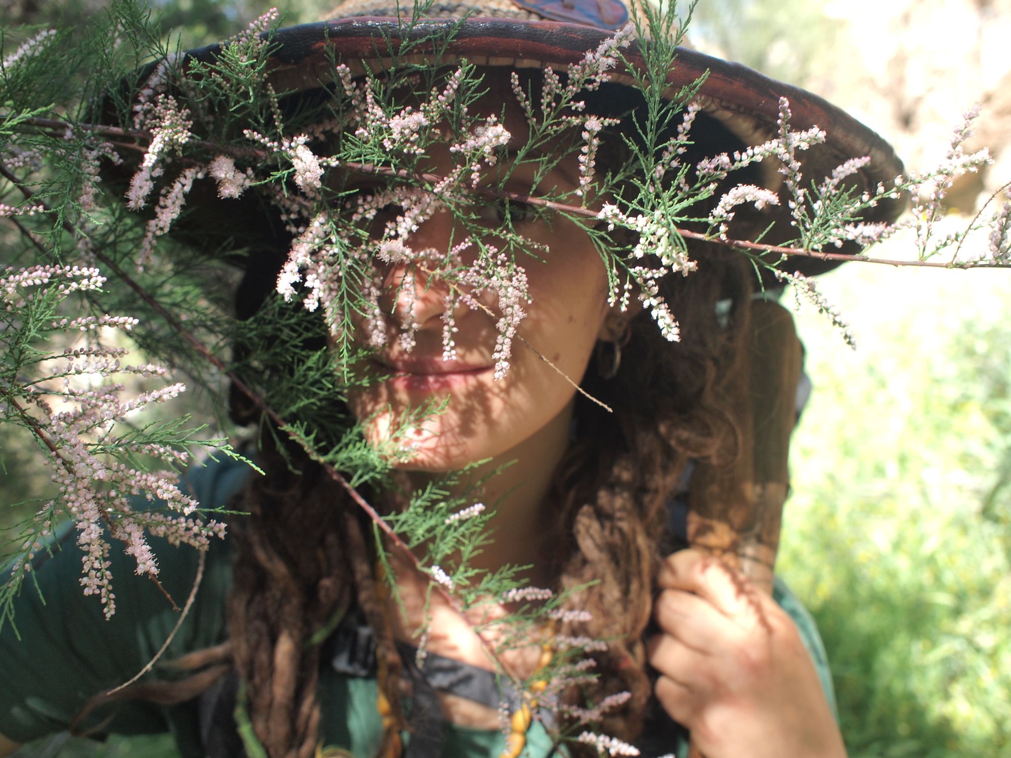
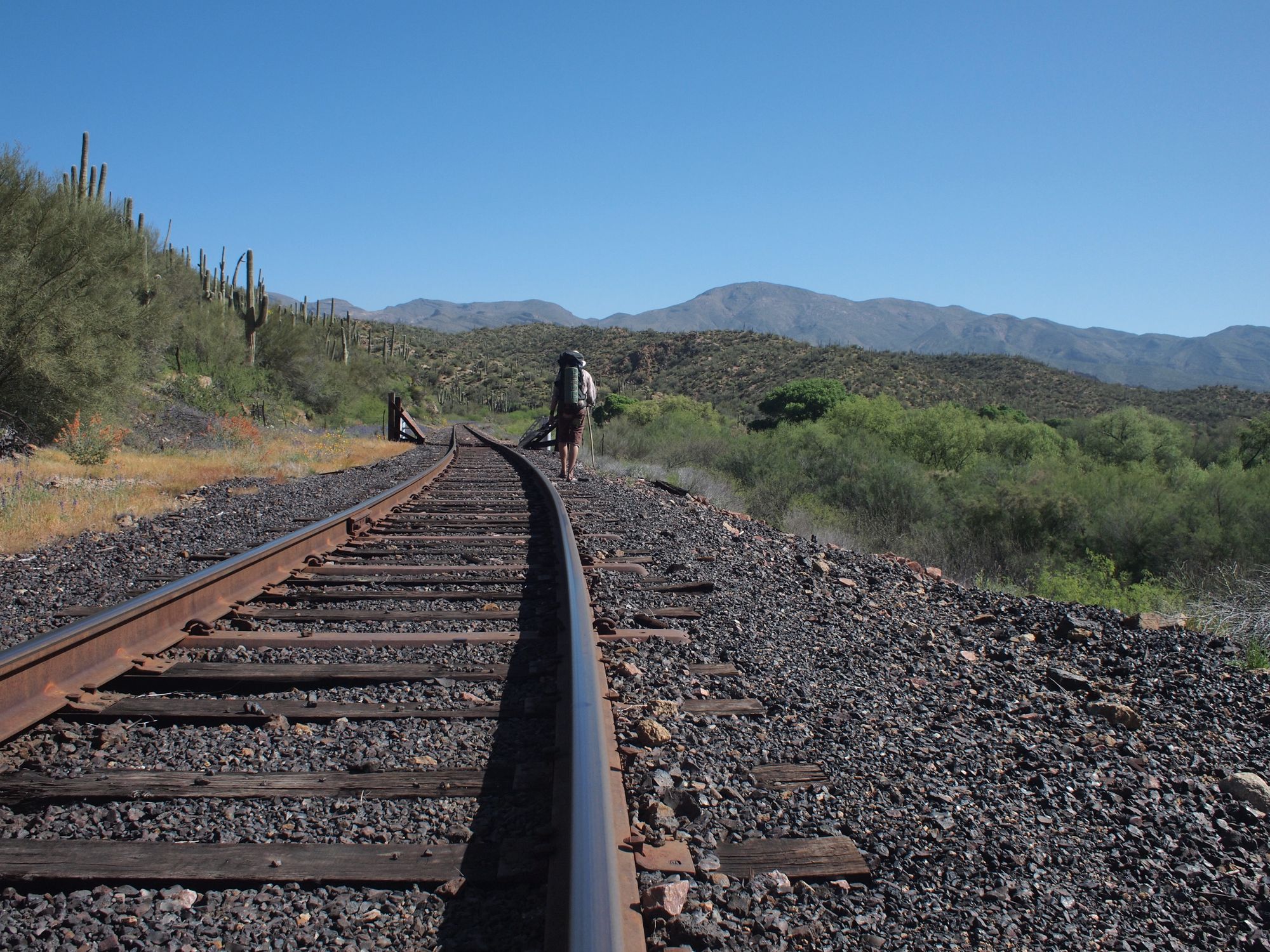
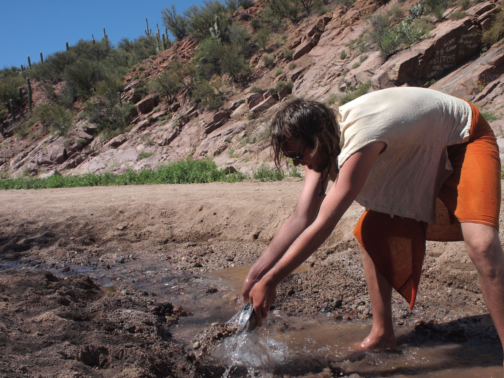
Sometimes our route was a trail, but frequently we followed the topo maps cross-country, on forest roads, up dry creekbeds, down riverbeds or along railroad tracks.
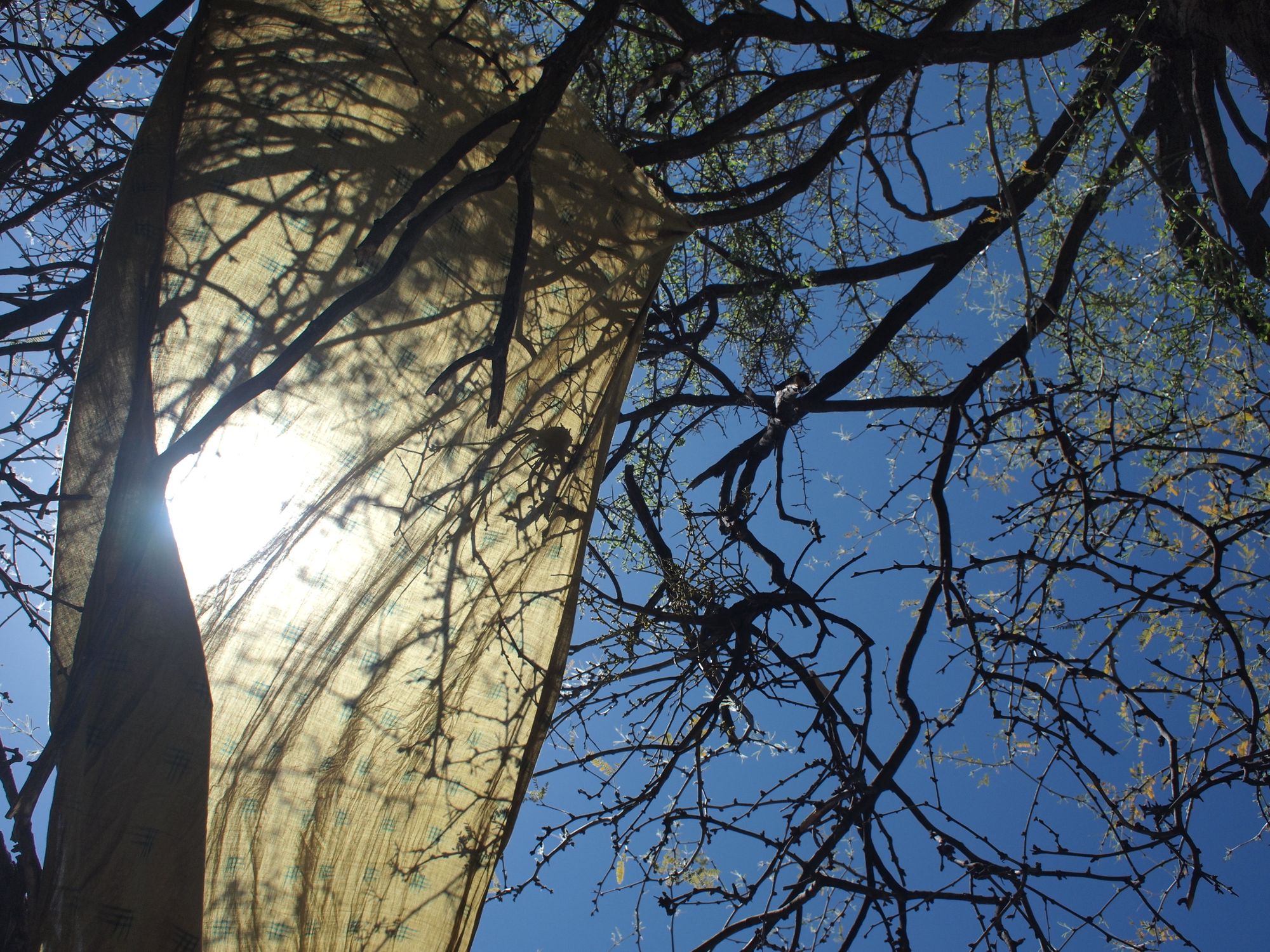
Our daily rhythm was this, wake with the first glimpses of dawn. With sleepy eyes and sore feet pack our packs and begin walking before sunrise. Once the heat of april sun became too intese, we'd stop to make food in whatever shade was available. Rest until the sun passed its zenith, then walk again.
This section was hot. Little did we know the cold that we were headed towards. The Tortilla Mountains sprawled endlessly through the low desert along the Arizona Trail, which was beautifully graded and allowed for some big milage days.

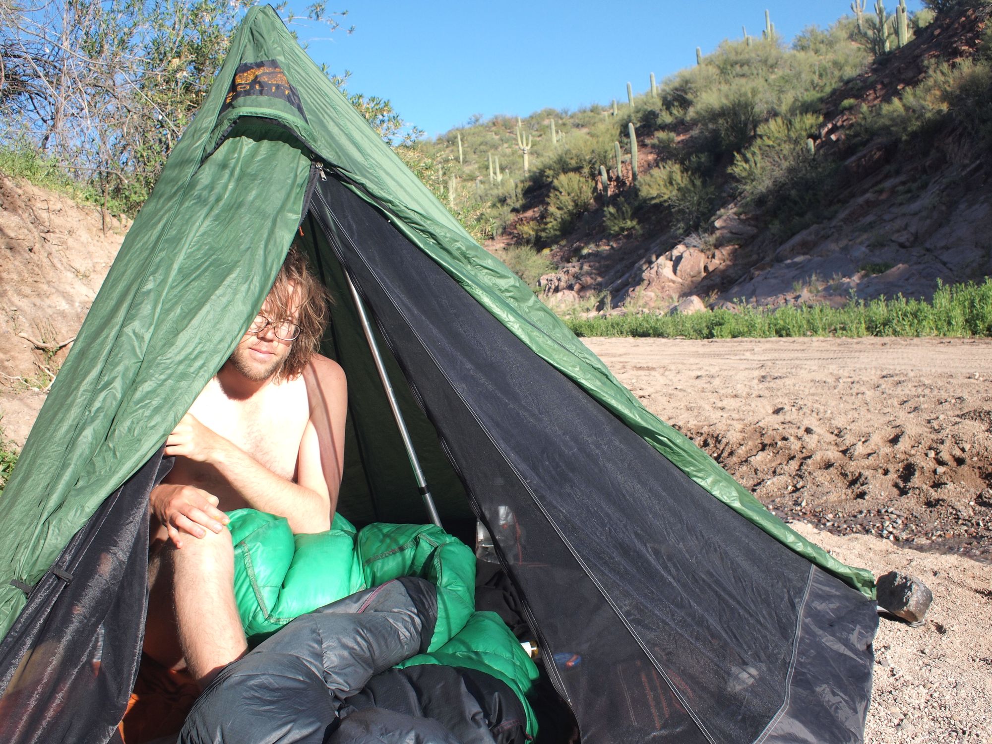
We loved (and still do love) our GoLite tent. Though it is no longer our backpacking tent, 20 years later, with a newly replaced zipper and fresh coat of silicone sealant, it still makes for a great car-camping tent.
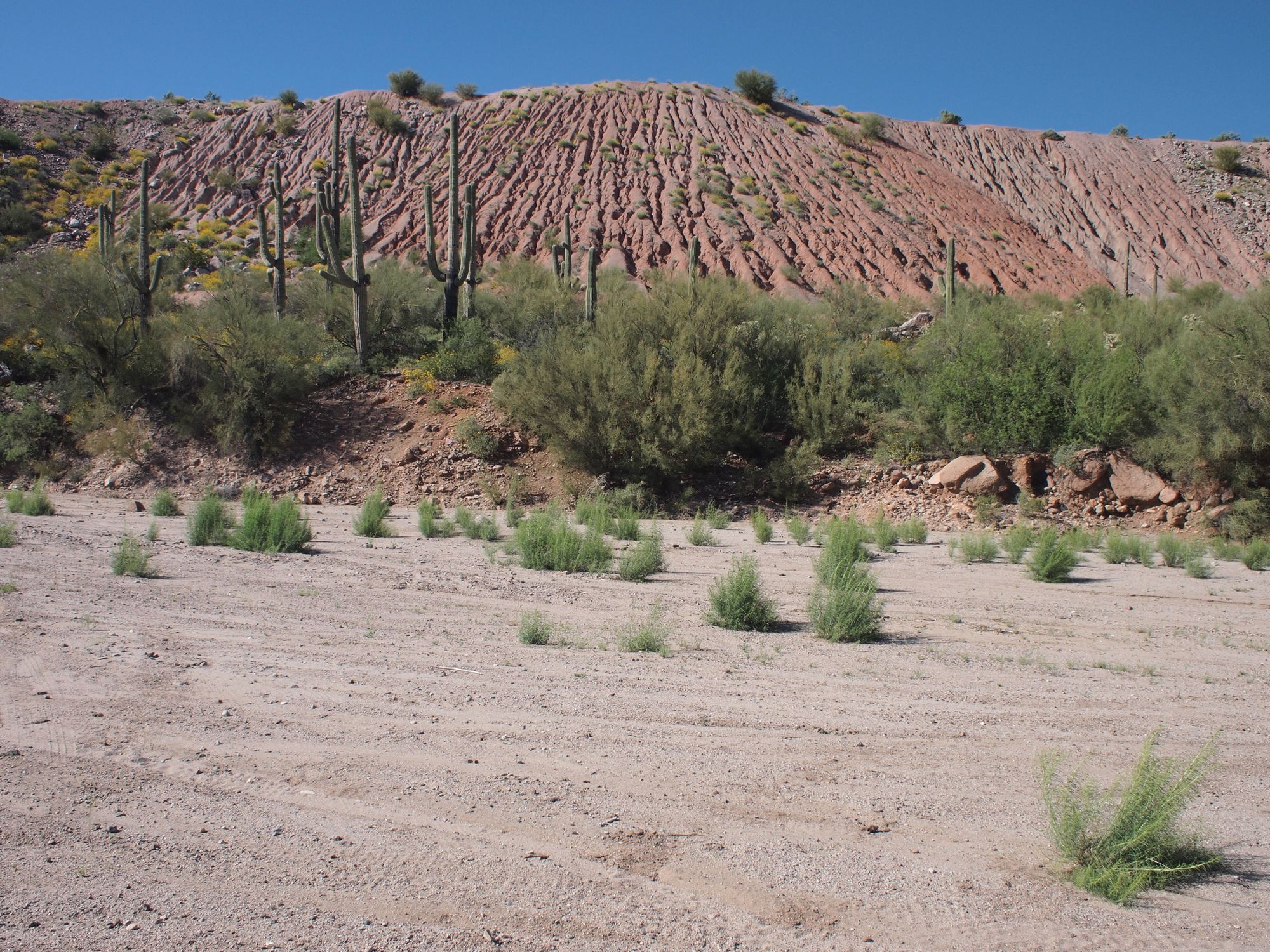
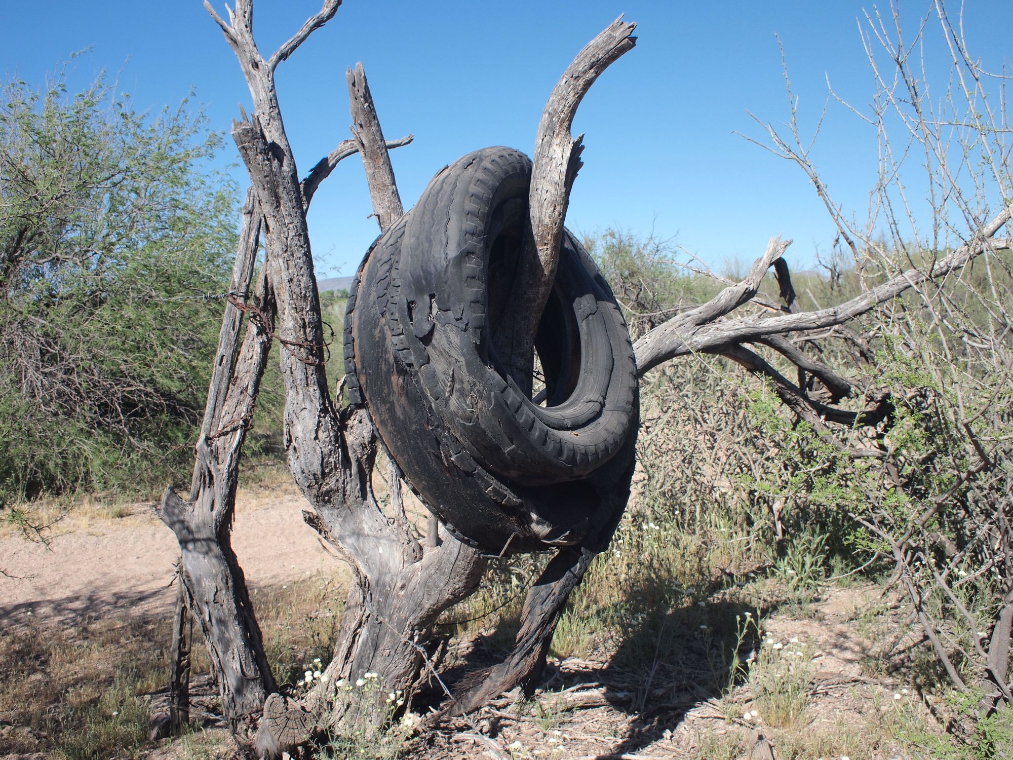
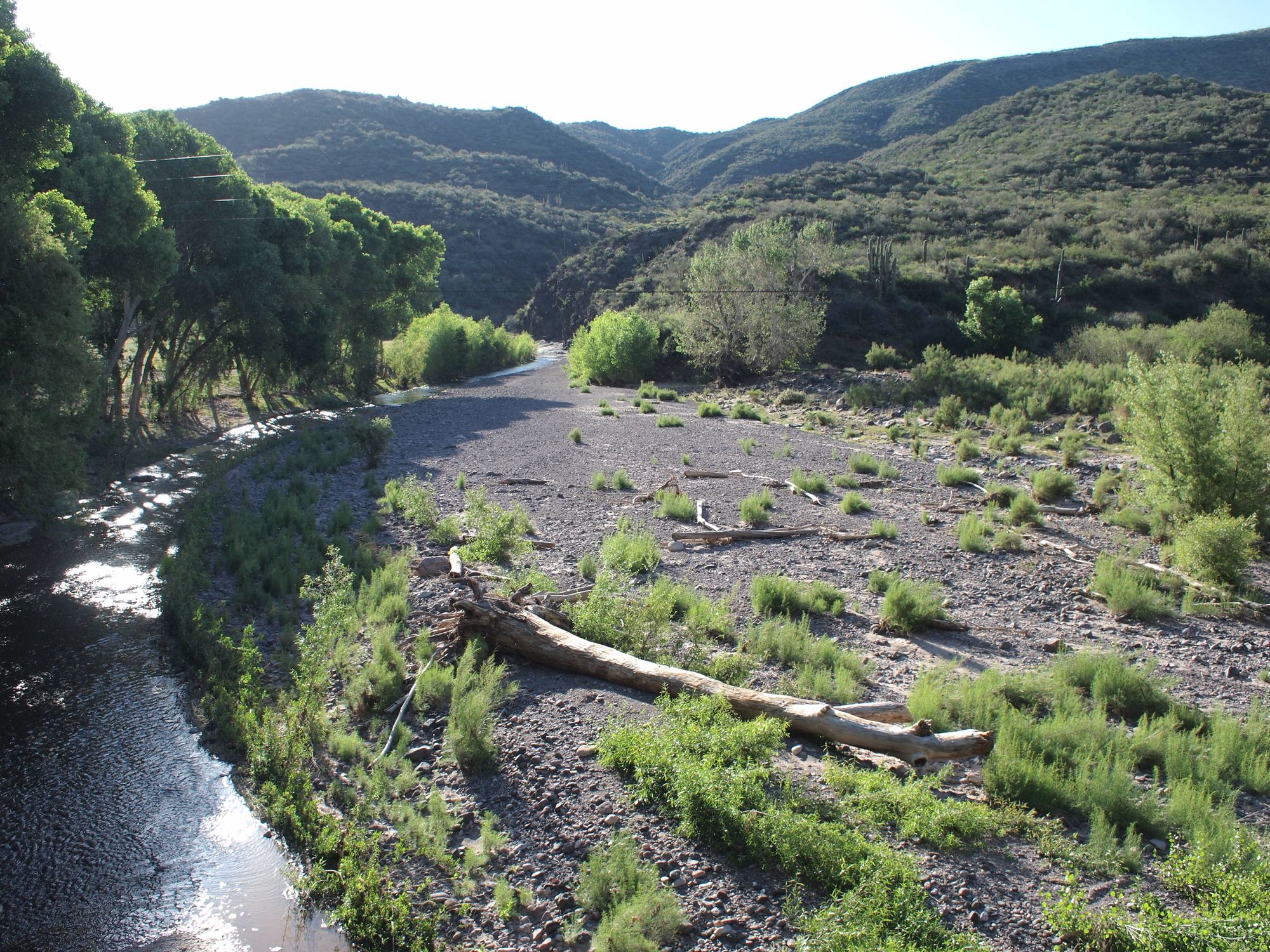
This is our first glimpse into the flowing waters of Aravaipa Canyon. From here we descend into a canyon that would reconstruct our ideas about geology and life in the desert. Check out Grand Enchantment Trail Part Two to follow us through the canyon, and out the other side.
